
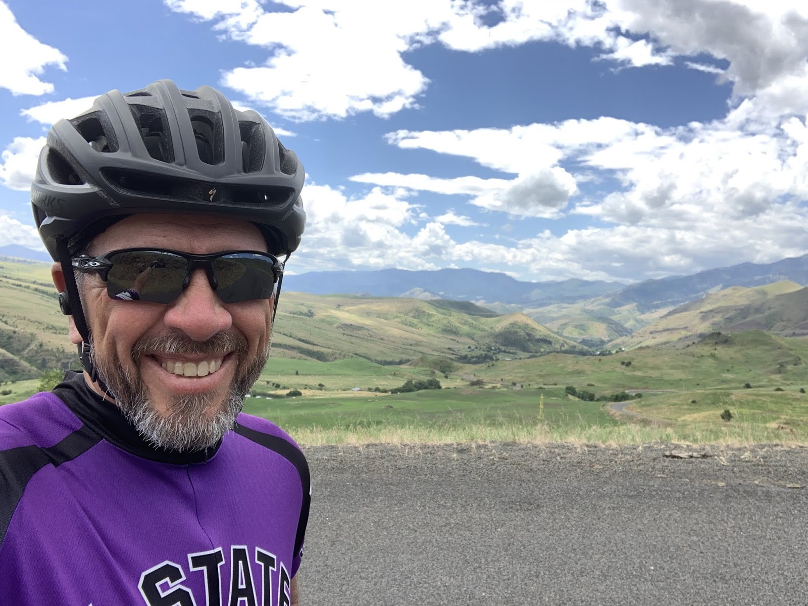
Ride Report: 63 Miles, 826 Total Miles, 13.3 Avg. mph, 3,494 Ft. Climbing, 5,218 Calories, 1 shredded tire - hey, it's gotta happen some time. At least it was one of the relatively cheap tires on the Sequoia. Everything on Delta costs more.
Things went pretty well today, except for the tire thing, but I hit a rock several days ago with that tire and put a cut in it then that I've been keeping an eye on since. That tire did the entire Texas Test Flight and wasn't new when we left for that trip. But now there was some delamination of the rubber from the threads near the cut. Bah - Just yesterday I told Susan I was hoping it would make it to Missoula - guess not. I was starting to worry that it'd cause a flat anyway. Bike tires do that when the tread wears thin. I'll have to change it tonight. On with the day's report.
So, after leaving Pollock, ID and somewhere before Lucille, ID I ran into this lady...

This is Brenda - she flags cars at the construction site Delta and I went thru today. We had to wait for the pilot car to return and chatted her up in the interim. When she asked what we were doing I mentioned The Thin Blue Ride and that Susan was following behind in The Rig. Brenda then described The Rig and Susan. I asked her for Lotto numbers, but it turns out that when we stayed in the City Park in Cambridge Susan had to wait to park The Rig appropriately because there was a Vacation Bible School being held in the park at the time. When Susan went to check with the VBS crew she ended up talking to Brenda's Mom, who gave us the OK to park there and said they'd be leaving shortly. What are the odds? It was a nice chat. Brenda pointed out a mule deer doe as it walked toward us on the side of the hill in the background and told me where the deer would bed down. Yup - Brenda pointed out the exact bush. The deer went right to it. She also told me where to look for Bighorn Sheep, but none were there when I went by. I think Brenda has spent too long standing on the side of the road...

And speaking of road construction - Delta was beside himself with joy. This, readers, is a pic of what would turn out to be 13 MILES of new asphalt. It was so new that the State of Idaho hadn't yet had time to put oil down and throw the boulders they use for chat in these parts on it. I don't know how to explain what a big deal this is to a rider and his mount. When the pilot car showed up Delta and me followed after the last car. We met the pilot car coming back with a bunch of cars in tow headed the other way - but other than that we rode for 13 miles on fresh pavement with nary a car to be seen. The pilot car never caught us with a group of cars going our direction. It was blissful. Especially so since highway 95 is pretty busy. Lots of traffic, and an inordinate amount of logging trucks hauling logs to the mills and "regular" trucks hauling lumber the other way. Somebody pinch me. Besides Susan...

A great shot of the Little Salmon River - not so little any more. We crossed a ton of streams and creeks that fed into it on the way to White Bird, ID. Note the continuing new tarmac.

Sigh - OK, note the return of the boulder sized chat. Nothing good lasts forever. But more importantly check out the size of the house with the red roof on the hill in the distance. Also note the sand beach right on the bank of the river. What the reader can't make out is the road connecting the house with the beach. My Lord but these people must have some money.

Another shot of the Little Salmon River. The trip to White Bird went on like this for 40 miles. I love the mountains in the background, but only cause I don't have to climb this particular bunch of 'em.

Oh yes - I saw this on the way. It was a ways off, but the first thing that caught my eye was the small house. What a view they must have every day. However, when I looked a little closer I saw an old wooden boat hull to the right of the house. Then I saw it... The Rig. The reader should look to the left of the house at the white vehicle peeking out from around the corner at me. That's right - it's The Rig! I dunno how Susan got it up there, but clearly with it and a boat in the same location the Teamsters and Longshoremen were holding court. No doubt for some nefarious purpose. I'll have to wait for Susan to talk in her sleep to find out what's up...
Some of the views here in Idaho are simply beyond words. Given that, I'll let this pic speak for itself.

Finally - this is the bridge where new highway 95 passes over old highway 95 at White Bird. The ACA map put Delta and me on old 95. Thank God, at least we got away from the traffic. The bridge looked a little low on one end, so I helped out till the I-DOT guys could get there.

And at White Bird, the Sequoia took over as we departed for today's climb. 10 miles - with 8 of 'em running at 6%. And lest the reader think my keester looks lumpy, I'm carrying three extra water bottles in the pockets on the rear of my jersey. This particular stretch of old 95 has a number of switchbacks and neither Susan nor I thought it a good idea to take The Rig up there - so she stayed on new 95. Having run out of water once on the Oregon coast, I'm determined not to make the same mistake twice. Used by permission of Susan Schoen Photography, LLC.

As we gained elevation I took this shot back down the valley. The Little Salmon River runs next to those mountains in the distance.

I thought I saw this was coming on Google Maps last night and was curious how the engineers would have handled it when the road was built. What the reader is seeing is a road cut across the side of that hill. This one happens to be where the road moves from one hill to another and the cut traverses the valley between them. Just out of view to the left is the corner, where the road turns right to head up the cut the reader can see. The problem is that in order to get to the correct elevation on the hill, they really had to pitch the road up for about a half mile - hence the cut. In about a mile I will have gone thru 8 switchbacks and ended up at the small knoll in the top left of the pic.
I think I took it well...

Gaaaaaaaa!

But once thru the switchbacks and at the top of the hill it was all smiles. The switchbacks are below me in this pic. If the reader looks below that brown square on the mountainside in the distance (I think it was mowed for hay) and just above the trees below the brown square, you can make out the road we were on before the switchbacks. And that road is prolly already 1k ft. above White Bird. We're close to the top now.

Susan took this one from a pullout where she could see the switchbacks. It shows them better than my pic above does. If one clicks on the pic to enlarge it, the first four can be seen quite plainly. There are four more running to the top of the hill to the left in the pic. Used by permission of Susan Schoen Photography, LLC. (Pricing available upon request.)

Susan took this one from a pullout where she could see the switchbacks. It shows them better than my pic above does. If one clicks on the pic to enlarge it, the first four can be seen quite plainly. There are four more running to the top of the hill to the left in the pic. Used by permission of Susan Schoen Photography, LLC. (Pricing available upon request.)

Near the summit, old 95 connected with new 95 for maybe half a mile before taking off on its own again and heading back down the mountain to Grangeville. Susan and I had arranged to meet at a historical marker pullout there to make sure I was set for the descent. I wasn't - hence the Oreos. I might add that the brief stretch where old and new 95 joined was part of a much longer paving project. As a result, both lanes of traffic were shifted over with those skinny little cones being all that separated the Sequoia and me from mayhem. As I was riding thru, a dually pickup pulling a car trailer with another pickup loaded on it hit one of those barricades as it passed us. It made an ungodly noise and scared the bejeebers out of me. The Sequoia took it well, but then he's a stoic.

So after departing Susan's rest stop, I took Delta out again and there was still about a mile of climbing before the summit. There is no official "summit" sign because we're on the old highway. But these people seem quite proud to live at the summit of White Bird hill. Click on the pic and enlarge if you doubt my word - it says "White Bird Summit". Just know that the web site will record all you doubters out there and report you to me later this week.

This was our first glimpse of the view just around the corner from the summit. Delta saw it first, so he got the honors.

And this is a much better pic taken by yours truly just a bit further down the road. Sometimes it pays to be patient. - a characteristic for which I am renowned...
And other than one more interesting story (without pics) that's it for the day. The interesting story is this...
Susan wanted to pull in for gas since it may be hard to locate for the next few days a gas station that she can get The Rig in and out of easily. (There are no truck stops where we're going - she was disappointed.) Fine by me - she even told me to stay in The Rig while she ran the pump. Now that's service with a smile. Turns out that the guy using the pump across from us saw the K-State tag on The Rig and her KSU shirt and started talking to her. His name is Chad Webber and he was from Hutchinson, KS. He went to KSU back when. Since Parker (Kelsy's husband) is from nearby Buhler, Susan inquired and sure enough - he knows the Rayls. He knew Parker's dad, Brad, and his Aunt Kay as well as her husband, Dick. Chad used to work for Dick's son, an outfitter in the Hutchinson area and Kay used to cook for them. How funny is that? At a gas station in the middle of Nowhere, ID. Especially after running into Brenda, the traffic flagger, earlier in the day. Say what you will about seven degrees of Kevin Bacon, but I'm a believer.
Till next time.
My sister is enjoying all of your Idaho sites. She and her husband lived in Lewiston for years. Graingeville brought back memories of her daughter and out Mother. Kooska is named by the Nez Perce Indian tribe
ReplyDeleteThanks. I wondered as I wrote that. Couldn’t decide between Settlers or Native Americans. We didn’t stop long enough to check it out... I did get a chance to read up some on the Nez Pierce from my ACA map.
DeleteHey, I'm the fully-loaded rider you rode with momentarily somewhere outside of Cambridge and into the construction zone. Enjoying your blog.
ReplyDeleteJoel
Hello Joel, I remember you. I think I saw you pulling in to the roadside tourist shop at the top of that mountain the next day? I was just pulling out. Hope you had some of their huckleberry pie - Susan got me a piece. It was grand. I hope your trip went (goes?) well. I seem to recall that you were stopping somewhere in Idaho maybe? Boise?
Delete