
Ride Report: 67 Miles, 1,184 Total Miles, 16.2 Avg mph, 1,807 Ft. Climbing, 4,747 Calories.
The day started off with two passes. First up was Big Hole Pass at 7,360 ft. elevation. (Don't start with me. As I said in a previous post - I don't name em. I just climb em.) This one accounted for about 700 ft. of climbing. Then we descended to 6,000 ft. only to do it all over again with a different name. This one was Badger Pass at an elevation of 6,760 ft. So - roughly another 700 ft. of climbing. At this point in the ride, we were 21 miles into a 67 mile day. Fortunately, save for some rather substantial rollers (rollers = a series of short climbs and descents) the remaining mileage was generally downhill to Twin Bridges - our overnight stop. But here's the deal - and internet bonus points go to whoever can make up a plausible explanation for this phenomenon. Here are the circumstances...
We left Jackson, MT heading generally South and were on the West side of the mountain range wherein lie both Big Hole and Badger passes. So - We were riding into a headwind. Then we go over the passes. At that point (the City of Dillon) the route turned generally North and we are on the East side of the previously mentioned mountain range. Now the wind is out of the North. The wind was in our face again all day today. My theory is that we were riding thru Dante's 1st level of Hell. Given how long it was taking me to get to Twin Bridges after lunch, I certainly felt like I was in Limbo. Anybody top that?
These thoughts aside, it's still just wind. If one is willing to submit to its whims (in terms of permitting it to determine one's speed) it's really not that big of a deal. Tho I do tire of all the extra noise. It's one thing to stand in a 10 mph wind. No big deal. It's quite another to ride a bicycle into said wind at 16 mph. The net effect is as if one is standing in a 26 mph gale. Its just plain noisy.
But lest my lamentations ruin an otherwise great day, let us proceed with the pics. Because there was a lotta good packed into today...
I should start with a brief explanation. Somewhere out there, there no doubt exists a reader who is using google Maps to check up on the start/stop points for each day and verify the mileage. There are three problems with attempting this feat. 1. Even using the "bicycle" option on Google Maps, I don't always use the same route. The ACA maps are quite ingenious in their attempt to send us over every mountain pas in the NW United States. Something I think Google Maps may avoid. 2. On some occasions (yesterday being one) I ride past the reported stop point for the day in order to shorten up an even longer or more difficult day following. Yesterday, I rode 9 miles past Jackson in order to be able to start the day at the base of Big Hole pass rather than ride 9 miles to get there and then climb it. 3. You're OCD. Do something better with your time.

So, it was about two miles up to Big Hole Pass. They even had the obligatory sign - tho its conveniently placed so far from the road as to make it unreadable. Still - a pass is a pass and merits mention. Note the vest and the clouds. It was quite cool when we started up. Still in the upper 40s me thinks. Nothing like a two mile climb to get ya warmed up. I must say tho, the legs didn't feel quite as good as they did yesterday climbing the much more strenuous Chief Joseph Pass. I refused to mention this to Susan. She'd just have provided some implausible explanation like, "Well, you're 59 years old. You don't recover like you did when you were in your 30s even." A guy just can't rely on spurious advice like that. Then she'd have fed me "Shot Bloks". If ya don't know, Google it. They work wonders.

I took this one because it's really a rather unusual pic in that the reader can see the road up to Big Hole Pass snaking back down the mountain behind me. It disappears between the two hills in the background and then reappears at the base of the one on the right. Usually there are trees or switchbacks, something interesting, to: (A) break up the view, and (B) break up the monotony of the climb.

As is typically the case, the view from the top didn't disappoint. The reader who looks closely will recognize that one can observe three separate mountain ranges in this pic. The one I'm standing on, the hazy one in the distance and the one with the big, flat topped mountain in the far distance. I've no idea the name of that really big mountain sticking up in the distance. But based on previous experience, I suspect the odds are better than even that the ACA map will send us over it next week.

This, readers, is the peak of Badger Pass. You'll just have to believe me on this one as there was no sign. The descent was quite fun. Down-slopes running at 6% and sometimes 7%. And it went on for 6 miles before it ran out to 1-2%. This generally persisted for 16 of the next 19 miles to Dillon, MT. A welcome surprise.

After Dillon there remained some 28 miles to Twin Bridges. The first half covered with the previously mentioned rollers and the second half a gradual 1-2% down-slope. Lest the reader think life was all rainbows and unicorns, let me remind you of the headwind. But headwind aside, there were still some great views. Delta caught this one.
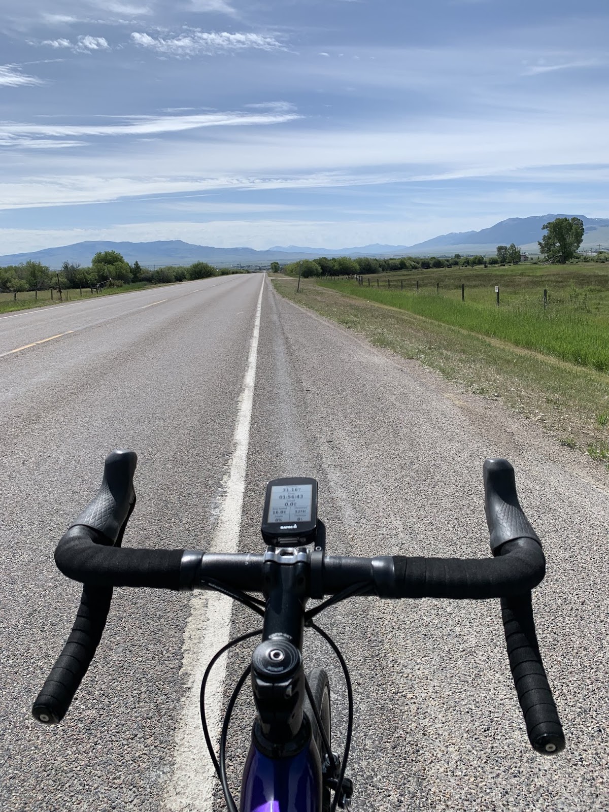
And this one. Since the road heads toward those mountains, you know what this means. More climbing.

The topography here is really interesting. We're surrounded on all four sides by mountains and riding thru a rather broad valley. It won't last forever because no matter which way we ride there are mountains blocking our path. But it is fun to stop and look around occasionally.

OK - the clouds in this one are just cool. And because some inquisitive and suspicious reader will note that I'm now wearing a green jersey, having started out the day in red: No, I am not using pics from two separate days. Its just that the two climbs early this morning sweated up the first set. Nothing like blasting down a mountain in 50 degree temps with wet gear. I switched jerseys at the top of Badger pass.

I believe this is Beaverhead Bluff. Named for its shape, obviously. It lies immediately to the South of the National Sand Hill Crane Nesting Site. Lest you think I'm kidding, look it up on Google Maps. It's a real place and was beautiful. "Nesting" being a polite euphemism for, well...begetting, I can only presume from its name that Sand Hill Cranes come here every year to beget the next generation of Sandhill Cranes.

We ended the day in Twin Bridges, MT knowing ahead of time that we'd likely run into Paul and Sam again. Twin Bridges had an excellent camping area for T/A riders right along the river. I'll post some pics tomorrow. After everybody got cleaned up, they bought us dinner at a local eatery. I had the "Drunken Ribs". Susan chose not to imbibe, thinking it more prudent to get me home safely. Last day we'll see Paul and Sam since they continue on along the Lewis and Clark route (those two again) tomorrow. We're staying here for a well deserved Rest Day.
Note to the Park Ranger guys in the Grand Canyon and Yosemite. Talk to the folks in charge of cell phone service out here. We didn't think it remotely possible that we'd have service in these small communities, but so far - 3 bars. Just sayin...
Till next time.
Hi Brad - I hear you on the head winds. They are brutal! Glad to see you are killing it on mileage and staying strong! - Ken
ReplyDeleteHa - just watched ur latest vid. Left a post...
ReplyDelete