INTRODUCTION

Where to begin? It was a dark and stormy night...  (Snoopy).  No. It was the best of times, it was the worst of times...  ...

Saturday, June 15, 2019

The Thin Blue Ride - Part 2 Day 5 - Coburg OR to McKenzie Bridge, OR


Ride Report: 61 Miles, 292 Total Miles, 16.1 Avg mph, 2,195 Ft Climbing, 4,713 Calories.  Oh and I was saved (again) at the McKenzie Valley Christian Church. (It’s not what you think. More on this later.)

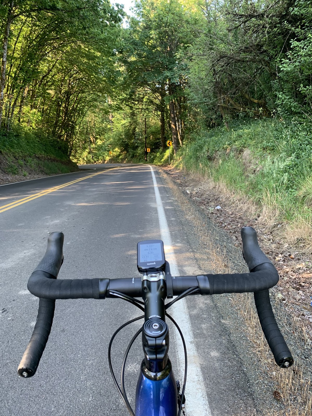
Supplemental Ride Report: 12 Miles, 304 Total Miles, 14.2 Avg mph, 820 Ft Climbing, 946 Calories.  Supplemental ride reports shall remain an anomaly.  I include it here because at the end of the day’s ride, I decided to go part way (6 miles) up Mt. McKenzie and explore a bit for tomorrow.  The logic behind this will be explained below.  The reader is cautioned – its Rider logic your mileage may vary.

So – total for the day was 73 miles.

It was a beautiful day to ride today.  I think the temperature was about 56 degrees when I left and the forecast high was in the mid to upper 70s.  As I type this I’ve no way to determine whether this was accurate or not because we have no cell service.   Hmmm… I suspect collusion between the Park Service (which apparently hates cell phones) and the Weatherguessers at “Accu”weather.  With no way for the folks in the Parks to determine if “Accu”weather was correct, people are left to assume said “accuracy”.  I mean, its in the name right?  But I digress.  It was, after all, a beautiful day.  It was also a day on which I found myself outside my comfort zone for a moment.  It went like this…

(Trigger Warning:  If you’ve an aversion to emotional content, skip the next paragraph.)

So there I was peddling merrily along following the McKenzie River upstream and the scenery was drop dead gorgeous.  As I am wont to do on occasion I found myself reflecting on my presence in such a setting and the graciousness of our Creator who put it all together.  This led to thoughts of the career from which I recently retired (and thoroughly enjoyed), the relationship Susan and I have after 40 years together, our kids, etc. (Basically my life to this point.)  Apparently such contemplations are the proximate cause of emotional distress.  All I know is that I was quickly overwhelmed with gratitude and got emotional.  Now this is not necessarily a bad thing.  But when one is riding on an 18 inch wide shoulder with the occasional logging truck going past from behind, bleary eyes aren’t necessarily a good for one’s long term prospects.  Displaying some common sense (Yeah, Yeah – it was a lapse, I assure you.)  I was forced to pull over for a minute and get my act together.  I was soon able to return to normal (for me…) and I remain grateful.

I don’t put this kinda stuff in the blog very often, but felt led to do so this time.

(Author’s note: Don’t be griping at me if that wasn’t your bag.  I warned ya.)

But enough of the Hallmark movie stuff.  On with the ride pics…
I was a bit surprised when I encountered this sign less than 3/4 of a mile after leaving the campground…

I mean really.  I’m 75 miles away from the summit and already the mountain is trying to cast a pall on my day.  Stupid mountain.  I pressed on.


As I said earlier, I was following the McKenzie River upstream.  It was clear, fast moving and very scenic.  As an added bonus, I noticed that when I was near the river temperatures were 5-10 degrees cooler.  Plus, there was a lot of shade from the trees.


People in these parts know how to build a nice house…


With a view.  Literally - this was just across the road from their front yard.


And just as I was beginning to forget about the mountain who must not be named (A Harry Potter reference there), I ran across this…

The mountain who must not be named has now enlisted his lesser buddies into trying to intimidate me.  Bah – it’ll take a better sign than that!

 And just before (nap) lunch in Vida, Delta saw this and just had to go explore…

We rode across just so Delta could say he had.  The reader may recall Delta's problem crossing the pedestrian bridge when he could see thru the slats.  No such problems here.  He was having such a good day I elected to forgo mentioning the issue.


I chose a slightly different perspective.  Now that’s both cool and scenic.

Anyway, at Vida (which was literally just around the corner from the covered bridge) Susan and I pulled into a gas station for 
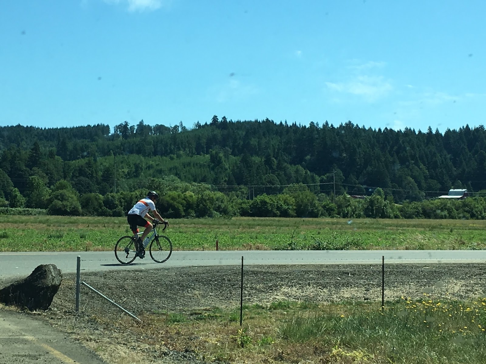
lunch and ran into these people.

Turns out that Ken is also riding the Trans-Am and we will both be heading up Mt. McKenzie tomorrow.  We had a nice chat.  He immediately asked if I was from Kansas and I’m thinking – accent?  (All Kansans know that we don’t have an accent.)  Then he reminded me I was wearing a KSU jersey.  Turns out they’re from Omaha.  Having apparently overcome her aversion to towing a trailer, Laura (his wife) is pulling a pop-up camper for their journey.  We wished each other luck and were off.


I heard this before I saw it.  Wow – how fun is this route?


Then there was this…

And as I rode by I heard, “Hey Bradley”.  Only my Mom calls me Bradley.  I look to my left and who do I see?  Nope, not Mom...

  Its K-State Santa!  Explains how he knew my name.  Santa knows everybody.  He asked me what I thought about Klieman’s current recruiting prospects.  And we discussed Bill Snyder’s legacy.  I guess this explains why Nebraska fans are always getting lumps of coal.  My apologies to Ken and Laura...


(Sigh)  He just won’t give up with the intimidation thing.  Stupid mountain.

I said earlier that I’d explain being saved again…

It went like this.  I knew I was on the short end of the hydration stick and still had a ways to go when what did I see but the world's largest yard sale at the McKenzie Valley Christian Church.  I pulled in and when I inquired, a very nice elderly gentleman told me to head over to the kitchen and fill up.
SAVED!


C’mon – how often do ya see this?   Unfortunately, I also got a 5 minute lecture on how to prevent forest fires.  He said its in his contract.


Bah!  I've had enough.  This is what I think of the whole intimidation thing.  Let me at him.  Stupid mountain.


Good Lord.  Enough is enough already!


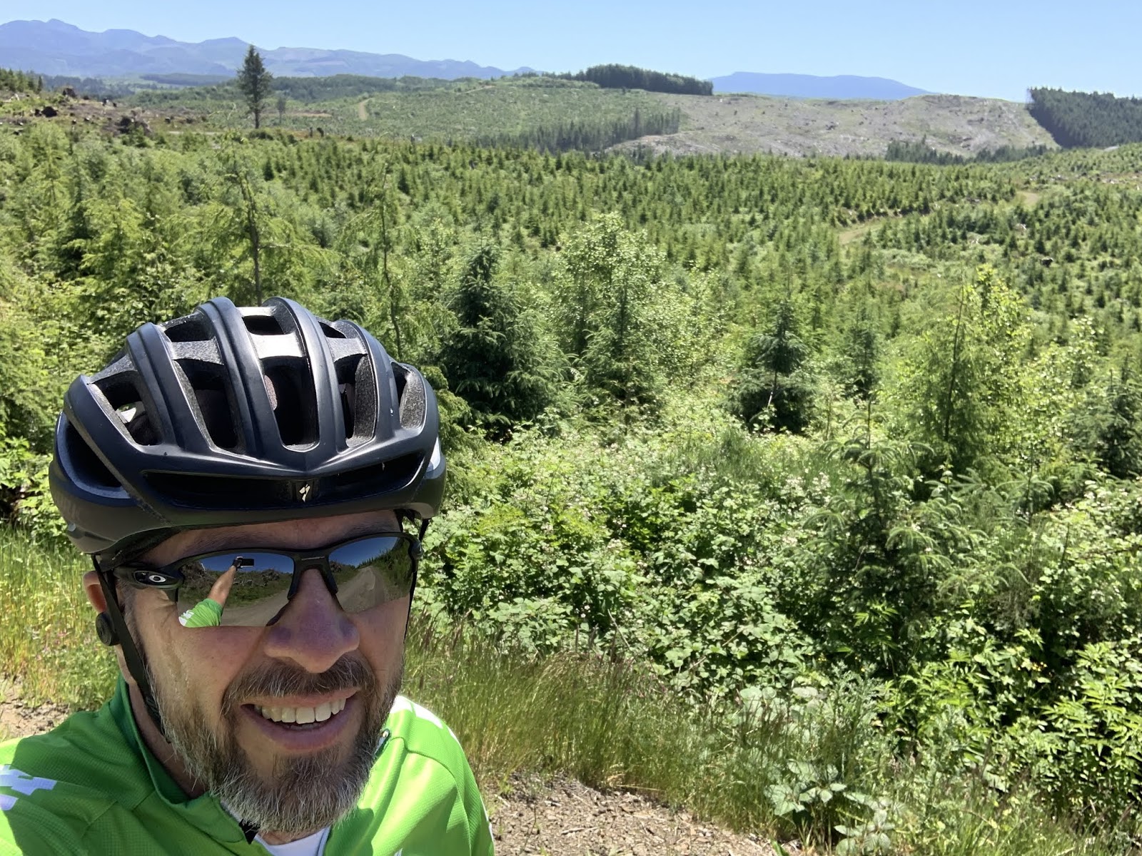
The pic below is from the supplemental ride.  The plan is for Susan to take me up to where I turned around on the supplemental ride and let me loose there to have my fight with Mt. McKenzie.  The road is still closed to vehicle traffic, but is open to bikes. (Apparently this happens every spring and local riders anticipate the car free roads all winter.)  So – I’ll ride over the mountain and meet her in Sisters, OR on the other side.  I think its about 40 miles.  From there its on to Prineville for a well deserved rest day on Father’s Day.  The idea is that the 6 miles up I did in the supplemental ride won’t have to be repeated on in order to get to Prineville.  Prineville was gonna be an 80+ mile day, which we both thought might be a bit much after getting over a mountain first thing in the morning.  The supplemental ride will shorten that up by 6 miles.

We'll settle this tomorrow, MR. McKenzie...

Side bar:   Internet bonus points for anyone who has had this conversation with their spouse. “Well honey, what do you want to do this morning?”  “Ah, I dunno sweetie.  How about I go climb a mountain?  See ya for lunch after?”

Well reader, that’s it for today.  Tomorrow I’ll report on my fight with the mountain and let ya know who won.

Till next time.

Thursday, June 13, 2019

The Thin Blue Ride - Part 2 Day 4 - Monmouth, OR to Coburg, OR

Ride Report: 62 Miles, 231 Total Miles, 17.4 Avg mph, 1,217 Ft Climbing, 4,820 Calories (Yes ladies, I’m losing weight already), 1 flawless performance by the new Garmin, and 1 flat tire - grrrrr.

Delta finally got to go out and play today.  Regular readers will know that Delta is designed for the flatlands while the Sequoia has been set up for hilly/mountainous terrain.  This should tell the reader all they need to know when examining the Ride Report.  How else to explain the 17.4 avg. mph figure?  Hint, there was no need to haul my aging carcass over anything approaching the hills experienced in the first three days of the ride.  So I was anticipating a blissful day, the Weatherguessers at "Accu"weather were even predicting a quartering tailwind out of the NW - perfect.  So on with today's musings.  Oh - and the pics that go with it...

This is Helmick Rd. out of Monmouth to the South.  It was gorgeous, and very cool.  Turns out I started about an hour earlier than planned - thus the cool temps.  It also happens that the guys who drive the logging trucks all go to work sometime between 0530 and 0600, which is when they started roaring past the parking lot of the Cultivate Community Church where we spent the night - thus the early start.  Apparently logging truck drivers are an industrious lot.  Oh yes - and there was one HD motorcycle that went past.  Trust me, ya just know.  It must have been stolen because no HD riders I know get up before 10.


One might wonder why Delta is leaned up against the tall grass with my helmet and Headsweats draped on the handlebars.  If the reader guessed that Delta was vamping it would be in keeping with his character, but the reader would be wrong.  This was along a stretch of 99 highway, which was VERY busy and had a lot of tractor trailers.  The shoulder was also strewn with rocks, which I was busy dodging when I hit a small bolt.  Those readers who ride will be able to relate to what I'm about describe.  First comes the rubbery "thunk" of the tire hitting the bolt, then there is the snapping sound as the bolt is ejected from beneath the tire, then one may be blessed (hah) to hear a "tink" as the ejected bolt strikes a part of the bike - in this case a spoke, and finally there is the sound of the bolt skittering across the pavement.  I actually saw it out of the corner of my left eye. That baby looked like it had been shot out of a cannon.  Following this series of events the rider holds his breath - as did I.  I was then rewarded with the "pssst, pssst, pssst" of air escaping from my tire as the tire rotated.  That's a long winded way of saying that I got a flat.  And only ten miles into the ride.  But not to worry, I had all the stuff necessary to effectuate a quick repair.  Unfortunately when I discharged the CO2 canister to inflate the tire, one of the beads popped off the rim.  Having no other cartridge with me (a problem that I have since corrected) I called Susan who stopped and gave me my air pump as she passed by.  Good thing I was nice to her all day yesterday... 


But back to Helmick Road.  Kinda reminded me of home.  Note the old school, small, square bales in the field behind me.  Importantly, and for the first time in days, there are no mountains visible in the pic.


Still on Helmick Road.  Looks like a new grove of...something...woody.  Clearly horticulture isn't my strong suit.  Wait a minute...  what the heck is that sneaking into the horizon of the pic.  (sigh)  Mountains!  The cursed things follow me everywhere.


When leaving Corvalis, Delta and I had to cross this pedestrian bridge.  I should have never let him look down for this pic.  As it turns out, there are gaps between the boards.  He saw the water thru the gaps and refused to move for prolly 5 minutes.  What a sissy, but I suppose I should expect such behavior from a thoroughbred.


Then came my favorite part of the day - LUNCH!

I know, I know - everyone is wondering why the two large bath towels.  Susan's idea.  As I recall, it went something like this.  "No way Buddy.  Keep your sweaty body off our new love seat."  Really?  This is the same body she's been married to for 40 years - albeit a bit different in appearance than the day we said "I do".  We've had two children together.  I'd no idea love seats were so fussy.  Fine, I'll nap on towels.  Used by permission of Susan Schoen Photography, LLC.  (She snuck this one in on me.)  


Harrisburg.  Delta saw this and thought it was a huge slip and slide - of course he wanted to go play.  I reminded him how tall it was and that he was the same bike who froze when on the bridge out of Corvalis.  He didn't take it well.


The astute reader will note that the mountains that were formerly on the far horizon have snuck up on me.  They coulda saved all that effort and just stayed where they were, we're headed that way tomorrow anyway.  Stupid mountains.


This is the river beside which we're camped for the night.  The Armitage Park Campground is one the nicest locations we've been in yet.


I thought the reader should know that we've now completed Map 1 of the Trans-Am trail.  There are a series of twelve of these maps, each of which contain a number of map sections designed to help me navigate cross country.


And this is the route we've taken to date.  Ignore the part from Florence to Coburg.  Its an alternate designed to make the trip a bit shorter.  I wanted to experience the northern sections and the Oregon coast since I'd heard about the spectacular views.  BTW - no one who mentioned the views discussed the mountains, its all "views, views, views".  Lies of omission...

OK - here's the deal.  As we head to the "real" mountains, it looks like God's country over there.  By that I mean there is simply nothing out there in places.  We may or may not have cell service (and hence internet access) for the next two or three days.  If that proves to be the case, I'll catch the reader up when we return to civilization.

Till next time.


Wednesday, June 12, 2019

The Thin Blue Ride - Part 2 Day 3 - Otis, OR to Monmouth, OR

Ride Report: 50 Miles, 169 Total Miles, 14.7 Avg mph, 3,333 Calories, 1,821 Ft. Climbing, 1 New Bike Computer.  More on this later...

Supplemental weather report:  Holy Cow, Batman - it's HOT!  Apparently Oregonians aren't as accustomed to the heat as are we Kansans.  Although, in defense of Oregonians everywhere, even I thought it was a bit warm today.  When I looked down, Garmin was telling me something North of 100 degrees, but it was in full sun and is black.  I don't recall the exact number as I tried to blot it from my recollection.  Regardless, hot was the word of the day.  As I type this Susan and I are ensconced in The Rig enjoying the AC and the fact that the people we bought it from were wise enough to include the optional generator with which to power everything when not plugged into shore power.  This because we're sitting in the parking lot of the Cultivate Community Church here in Monmouth - no hook-ups.  Anyway, on with the day.

It was planned as a short day to set us up for the trip over McKenzie pass.  This will be the first real mountain pass of the ride two days hence.  We jiggered the mileage around for the next three days (a departure from my original plan) in order to avoid climbing a freakin mountain at the end of a 68 mile day when we get there.  It was Susan's idea.  Clearly I'm a shallow thinker - I like her plan much better.  The scenery was a step down from the coastal views to which we'd both become accustomed over the past week or so, but we knew that was coming.  It was still pretty country, just not dramatic and sweeping in its vistas.  So on with the pics...


Susan, having apparently become enamored of these "action shots" took this one as I departed for the day's ride from Otis.  I look at it and delude myself that I'm a svelte hill climber.  As the reader likely realizes, reality always intervenes upon encountering the first hill.


The first prolly twenty miles followed the Salmon River upstream.  For the first 15+ of those miles it was no big deal.  The slope was 1-2%, which is pretty tame.  It was very clear and was the best part of the ride today.  Cool, shady, - you know the drill.


This is a better shot.  But as is always the case with following rivers to their point of origin, it grew smaller as we worked our way uphill.  This of course, portends something like...


The reader should ignore the halo effect.  The Good Lord happened to be offering me suggestions on improving my pedal stroke when I came upon this sign.  I hated to interrupt for a pic, and while I may have been communing with Heaven at the time, these signs are usually the first indication that the Believer is approaching the gates of Hell.  Oh well, you know what they say about the road to Hell.  Apparently its paved with both good intentions and bad tarmac.


But after suffering thru the biggest hill of the day (nothing compared to yesterday, BTW) there was a good bit of downhill and eventually a relatively flat valley - where the Sequoia saw this field of...something.  Neither of us knew what it was.  Reader?


There was also this.  The loggers in this part of the state need to talk to the loggers along the coast.  Here they plant the trees in nice straight rows to make felling them easier???  Oh - and speaking of loggers...  today was an official Oregon holiday.  I believe its referred to as Logging Truck Wednesday.  Because...


I was passed by a ton of these today.  They were going both directions; loaded and empty.  To quote Brian Regan (look him up on YouTube) "Ya-know, you'd think that if they have logs over there...and they need logs over here...a phone call would save a whole lot of trouble."


Unfortunately, the State Holiday doesn't exempt logging trucks from physics.  Dunno what happened here, but I came upon it just before turning South on 99 for the final leg into Monmouth.  When I inquired of the O-DOT guy flagging the wreck he told me the driver had survived but was pinned inside for a while.  I said a quick prayer for him.  Then, "Move along.  Nothing to see here."  (A little cop lingo there.)


There was also this.  WHEAT!  We felt at home.  Used by permission of Susan Schoen Photography, LLC/


There were also many fields of tall grass.  Occasionally I'd see one that had been mowed.  Again - I presume as fodder for cows.


The final six miles into Monmouth were on a paved bike path.  I suspect the sheer volume of traffic got the state to install it in order to keep bikes off  99.  Fine with me.   I tire of vehicles roaring past - not that there's much to be done about it.


Ah yes, me arriving in Monmouth.  Taken thru the windshield of The Rig with an I-phone 6s and used by permission of Susan Schoen Photography, LLC.


And finally, some bonus pics.  One of which is by demand...

The reader may recall that in an earlier post I only placed one pic of the "Big Guns", but asserted that I'd include more if I received sufficient requests.  I did.  Thanks Chuck.  I believe this is known as disappearing artillery piece.  It would swivel up to fire, then back down below the barricade in order to avoid incoming fire.  It didn't prove particularly effective as the accuracy of naval gunfire increased and such artillery is no longer in use. I have more, but will defer to my daughter's wishes in this matter as I have to spend four days with her in Breckenridge long before I'll have a chance to get with Chuck again.  Sorry buddy, vote with your feet...


The reader may also wonder why I have a pic of Jim from REI in the today's post.  That's because when my old Garmin 810 (which model had apparently gone the way of the Dodo bird according to Garmin when I called) died today, I ended up talking to Jim at the REI store in Salem.  They had ONE of the new 830s remaining in stock and he held it for me.  A 16 mile jaunt later and it was all mine - for the piddling sum of $400.  Ouch.

Oh yes, the member's $40 rebate is going to Kelsy and Parker since Susan and I aren't members.  So - Kelsy - if I apologize about needling you with Mom making potato salad for me, would you give me my $40???

And lastly there is this...
This pic was taken near Astoria.  I've been waiting to get it included in a post when we had better cell service.  So - here it is.  Susan was quite enamored of these large white flowers, they look like lilies to me - hope she's not standing on someone's grave.  Dunno where she got the life sized bobblehead to put next to them for scale, but c'est la vie.  And that's it...

Until next time.

Tuesday, June 11, 2019

The Thin Blue Ride - Part 2 Day 2 - Barview Jetty Campground, OR to Otis, OR

Ride Report: 58 Miles, 119 Total Miles, 14.1 Avg mph, 4,154 calories, 2,907 ft climbing, 1 Wife who saved the day.  (I'll not be adding to that number, BTW.)  More on this later...

Today was basically Rockaway Beach Oregon to Otis, OR.  But I always list the actual starting point - which was the campground.  Its about 4 miles South of Rockaway Beach.  I include this information here in order that the reader be better able to approximate our location.  I'll try and remember to do so in the future.  It was a gorgeous day today: sunny, cool when on the coastal side of the mountains, a bit warm on the back side of those same mountains, only a mild wind in my face for most of the ride - I could go on.  Instead, I'll sum it up with this saying (I stole it form a plaque at a gift shop and modified it slightly) "A bad day riding is better that a good day at work."  And most of my day was good.  I'll detail the bad below.  But on with the pics...


Shortly after setting off I was right along the shore and rounded a corner to see this.  I loved the one dead tree poking out of the top of the rock on the left.  Note the big smile - no "bad" yet.


Then we ran across this.  I'd been hankerin for a good chance to get a shot of one of these since we were driving North on 101.  I knew today might be my last chance.


Shortly thereafter we ran across this!  I'd also been wanting a pic of one of these.  Man - today was going well...


And then the icing on the cake was this.  I hope the guys driving the logging trucks can read.  Note the even bigger smile.  Today was going swimmingly...


The uninitiated reader may inquire as to what this is and why I bothered with a pic.  While it may be difficult to tell from the pic, its the hull of a boat - and made of concrete.  I included it here because one of the posters to my site (Curtis) responded to one of my earlier blog comments about boats and mentioned that they're made of a variety of materials, to include concrete.   So - here ya go Curtis, proof of your outlandish claim.  I've no idea why it was washed up along the bank of what is, at best, a minor river.  If Curtis answers that one in a post, I'm just gonna have him start writing the blog for me.


Interestingly, the ACA map put me on some back roads out of Tillamook.  This pic was taken on one of those roads.  Though its prolly impossible to tell, there is a tractor towing a hay rake in the center of the top edge of the tan stuff - which is grass that has likely been mowed for cattle feed.  It was a picturesque scene.  I just stopped and watched for a while.


This is the same road maybe a mile later.  I might add that the ACA folks were kind enough to alert riders that there is a half mile of gravel ahead.  At this point the road is very narrow and severely crowned, but this spot took my breath away.  I stopped again to soak up the view.  It was cool and VERY quiet.  By that I mean that I could hear no sounds produced by man.  The birds were making...whatever sounds birds make.  I dunno I'm not a birder.  But I stood there in the middle of the road for  five minutes.  The pines were so big they formed a complete canopy over the road.  Beautiful!  Now I know why the ACA guys put us on this route.  Note the huge smile...


However, this is where Mr. Smiles was put to the test.  I may be grinning here, but let me assure the reader that it was forced.    We came out of the valley behind me.  As it turns out, the route headed up severely when the road surface went to pot.  Not only was it gravel, but it lasted for prolly a mile and a half, with portions pitching up at 13%.  It was a steady 10%.  Why?  Because the area had been logged recently and the road had basically been turned into a logging road.  Until, that is, I got on the actual logging road portion of the route.  It had never been paved at all.  At one point the pitch was steep enough that I walked for 200 yards because I knew there was no way my back tire would have enough traction to keep from slipping as I went up.  On the bright side, I did have excellent cell reception up there.  I used it to verify my location fearing that I had gotten lost.  Nope.  BTW - Google Maps called it "unpaved unnamed road", which was certainly reassuring...


Eventually we made it back to pavement.  The Sequoia was so glad to see rocks held firmly in place by petroleum products that he took this pic.  God bless him, I was right there with him.  We had a pleasant few miles until the next hill.  Which was a doozy...


I took this pic one mile up "Doozy  Mountain".  I've renamed it and will be informing the State of Oregon tomorrow.  Whoever they named it after is prolly long dead anyway, having been the first to ride a bike up it and dying at the top.  At this point it had been a mile of 4% to 6%.  OK- I can hang with that.  I figured it must be about over.


NOPE!  I was singing a different tune THREE MILES later.  The grade pitched up as the hill went on.  After the first mile, there was a lot of 8.5%, 9%, 10%...  Let me put it this way, the steepest grade Garmin reported to me was 13%.  Good Lord!  I kept looking for the top knowing that I was only about four miles from lunch at Sandlake (yes its all one word - a grocery store and a post office) with Susan.  I figured that I'd probably go downhill for about the same distance I went up.  Nope.  Plus, I ran out of water about 1.5 miles from the top - this couldn't be good...  I screamed downhill at 40+ for about 1.5 miles till I was close to the bottom.  I was wiped.  I saw a couple loading jet skis on the downhill and pulled into their driveway.  The guy looked up at me and said, "Need some water?"  They were very nice and gave me two bottles of ice cold water.  Turns out I was only about a mile away from Sandlake at the time.  When I met Susan for lunch my hands were shaking.  I think that was the most miserable I've been on a bike in a long time.  I'm not a climber.  Those guys are like 135 pounds.  I was 204 this morning.  We'll see how that goes if this continues.


I'm sure I looked like a beat mule when I pulled in at The Rig for lunch.  Susan just looked at me and started shoving food and liquid at me.  She also shoved an ice cream treat at me.  She ate this one, which was produced locally at the Tillamook Creamery.  But she got me a much bigger ice cream sandwich.  (God bless her.)  I haven't had one of those in years.  Hence my earlier "Wife who saved the day" comment.


She also went up the road a bit and found yet another great pullout from which the Pacific was visible.  Turns out that this is our last pic of the Pacific since the route turned inland shortly after.  The reader will note that one of us has as a bald pate.  Hence you always see one of us in a ballcap or a helmet...


Finally comes the end of the day's ride.  This is an action shot of me pulling into Otis.  Used by permission: Susan Schoen Photography, LLC.


Sitting here in The Rig as I draft tonight's post, it occurred to me to look at the elevation profile of today's route.  I know it sucked since I rode it, but I thought the reader might like to take a gander...

One word: OUCH.  The first little spike is us getting over the logging road,  the second big spike is us getting over Doozy Mountain the first hill.  The final spike is the last big hill.

At the conclusion of the second big hill I looked like this...
The observant reader may note that this pic looks remarkably like the one I took when I topped the first big hill.  There's a reason for that.  I looked the same at the top of second hill.  I'm just too lazy to go fetch another pic and download it to the blog.  Besides, I didn't wanna waste film...

Till next time.