
The Thin Blue Ride – Part 2 – Grangeville, ID to Wilderness
Gateway Campground, ID (Close to Nowhere, ID)
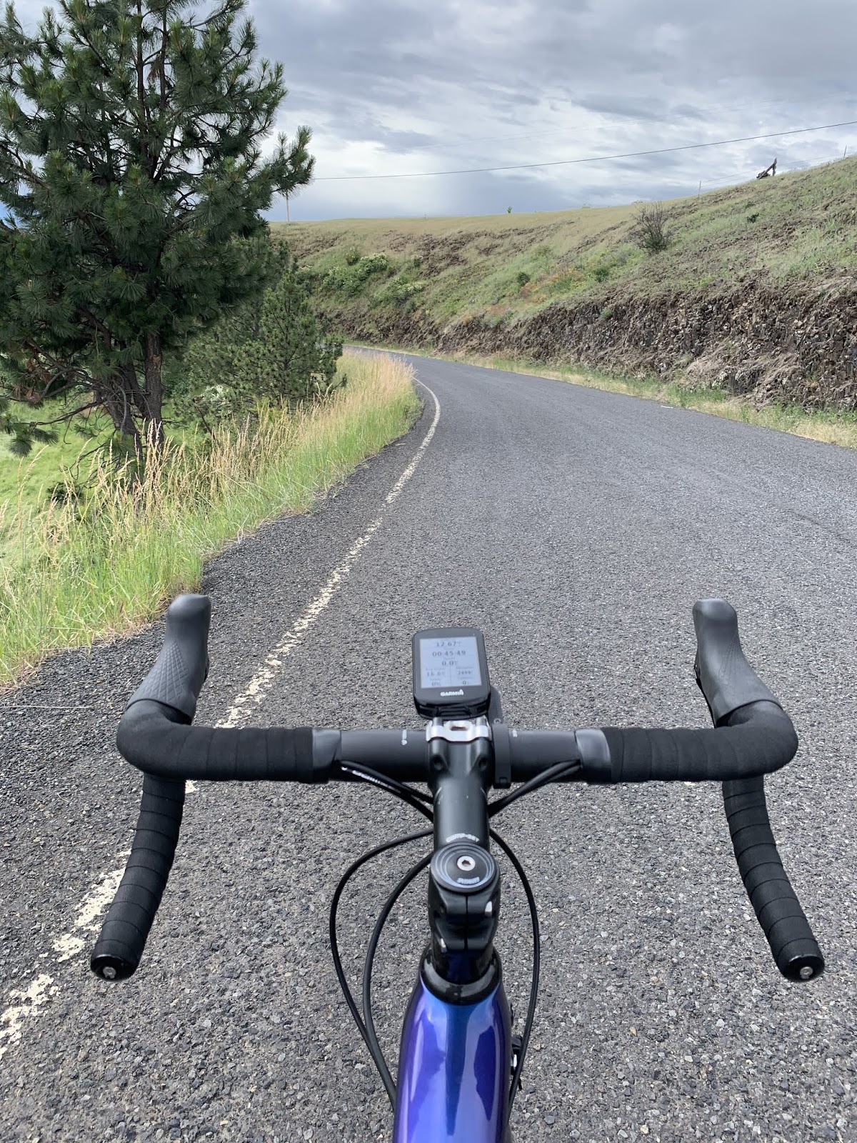
Ride Report: 69 Miles, 895 Total Miles, 15.9 Avg mph, 1,991
Ft Climbing, 4,911 Calories, and 1 rain delay.
Well readers, despite this…

I managed to talk my way thru with the guy replacing the culvert and didn’t have to take the
three mile detour on gravel roads. Thank
God for small blessings, eh? And after
this shaky start, the day went pretty well until the final segment of the
day. Read on or the suspense will kill
ya.
It started out as a generally flat day in so far as
topography is concerned. The first 17
miles from Grangeville, ID to Kooskia, ID (apparently named by a bunch of
Russians?) had a lot of what I call rollers.
The grades ran in the 7% range on most of em, but they weren’t lengthy
so everything was good. By the time I
hit Kooskia, the average speed was running about 17.9 mph. Pretty good, and I didn’t feel like I was
working too hard. But I gotta say, the
descent from the high plateau (Recall the pics from the summit of White Bird
mountain yesterday – that was the plateau.) down to the river valley in which
Kooskia is located was hairy. Take a
look at these pics for a summary of the first 17 miles…

That’s right. Wheat!
A whole field of it! Now I’m
getting homesick.

And just when I’d gotten over the wheat, there was
this. Yes! Actual dirt! Susan and I got to talking about the last
time we saw actual dirt. We know it was
before we entered New Mexico and generally place it somewhere around
Oklahoma. If one looks closely at this
pic, one can also make out an actual tractor in the tan patch behind the actual
dirt. Listen, if ya see dirt every day
it’s no big deal. But after 5 weeks –
it’s a big deal.

This is more wheat.
(Used by permission of Susan Schoen Photography, LLC.) We gotta talk to the farmers in Kansas and
get ‘em to plant their wheat in places with backdrops like this. What’s wrong with those guys. Fortunately, Susan has an in with the farm
crowd seeing as how two of her brothers farm.
If they can pull the scenery thing off maybe they can organize ‘em all
and control production to force commodity prices up. I’ll suggest it…

This is me at the top of the only real descent of the
day. This is what I was talking about
when I previously mentioned the high plateau.
In short order Delta and I will be at the bottom in the river valley
below. I think we went from about 3,200
ft. elevation to maybe 1,400 in just a couple of miles. I think they called it Lambs Grade Road
because sheep are the only things capable of going up it. This baby was steep. Those cows in the pic were roped off and
belaying each other to take turns grazing.

Delta wanted this pic.
Having examined the day’s elevation chart before leaving The Rig this
morning we were both anticipating a rip roaring good time. Ah…not so much. Look just to the right of that cedar tree
closest to us on the right side of the road.
One can just make out the road wrapping around the side of the hill. That’s right.
The road disappears in front of us and then reappears prolly 150 feet
lower in just the wink of an eye. I
glanced down only once and saw both 9 % and 10%. The problem here is that the road was
exceedingly rough, there were a few potholes, and the corners were very
technical – oh – and there was loose gravel mostly in the corners. I braked all the way down the hill and was
reluctant to let our speed get much over 25 mph. On the few occasions I did let off both
brakes, I could feel Delta surge ahead as the speed shot up. It wasn’t scary, but if I hadn’t kept a tight
rein on Delta, it would have been. At
the bottom, Delta was upset. The road
was so rough it loosened a bolt on his stem cap. This is the cap that covers the bolt holding
the front fork tightly in place.
Ouch! Luckily Susan met me at the
bottom and the problem was quickly corrected with the allen wrenches I brought
along on the trip. Wow – what a ride!

Things got much tamer after that. We left Kooskia over this bridge (very
quaint) and headed out on highway 12. We
had heard rumors about how tight it was, how it had no shoulders, and how busy
with truck traffic it was. While it’s
true that it didn’t have much in the way of shoulders, in our experience it was
lightly travelled and everyone who passed us gave us plenty of space. The one exception being two logging trucks
travelling together. Frankly, those guys
are startin to piss me off. Not that I
can do anything about it.
From Kooskia on, it was a steady uphill climb since we’re heading
to Lolo Pass tomorrow. So, the remainder
of the day was uphill at 1-2% with the occasional 4-5% blip on the radar.

We were traveling along the middle fork of the Clearwater
River. They weren’t kidding when they
named it. Even from the road I could
count the rocks on the bottom of the river, which at times was running (I
think) maybe 6-8 feet deep. This was one
wide river.
After a bit of this, my feet needed a break, so…

And what better way to give ‘em one than a quick dip in
cool, refreshing river water? Let’s get
real – it was freezing – it is from snow melt, after all.

But the scenery was great – even for feet. I call this my "stop and smell the roses" series...
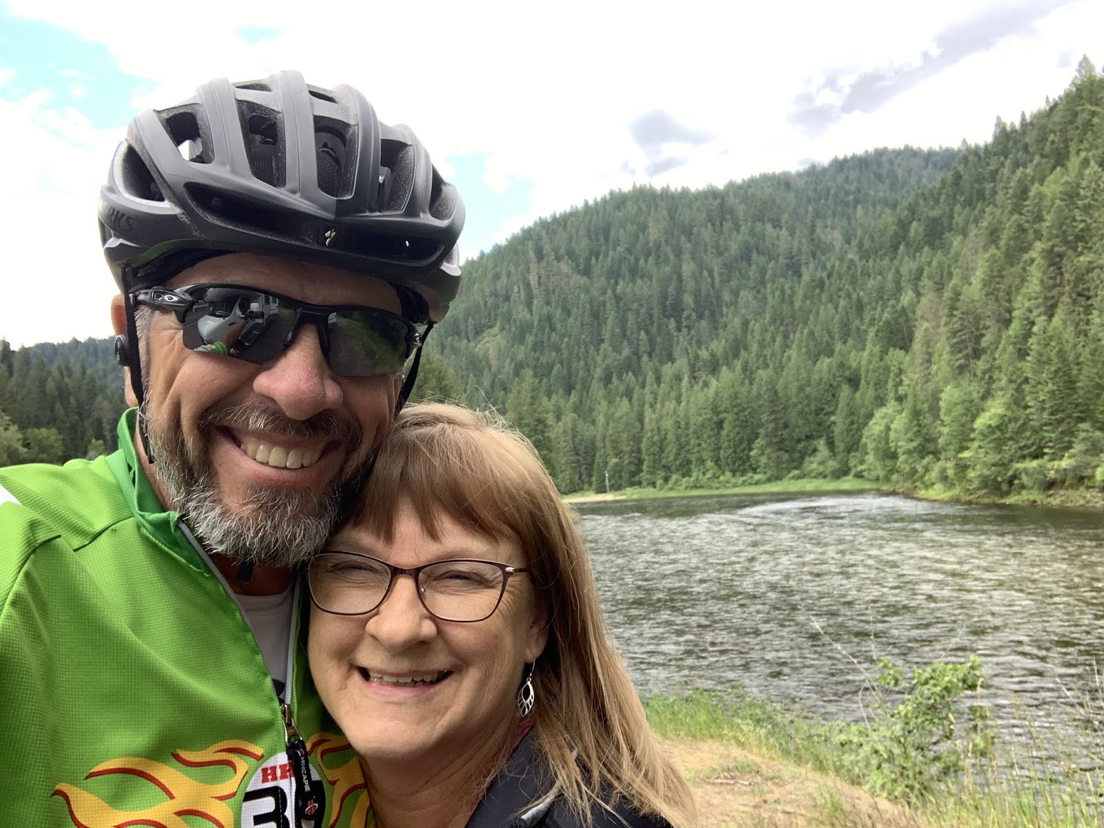
Shortly after that I completed the 23 mile section to near
Lowell, ID where I met Susan for lunch.
It occurred to her that we hadn’t had a selfie together for a good while
and this was a scenic place to take one.
Brilliant. I married the
smartest, cutest Teamster I know. Just
look at that smile. This is also where
we had our brief rain delay. We could
both tell that it was nothing serious, but (as always) I had to wait for the
roads to dry out after the rain stopped.
Since the elevation chart showed the grade picking up a bit, I also
traded out Delta for the Sequoia. Then
it was off to the races once again.

Except in this case there wasn’t much racing goin on. There are two reasons I’m exposing the reader
to me in all my bald glory. 1. The wind
was in my face for the final 26 miles to the campground. I think this is because as the temperatures
rise lower on the slopes, the cooler air at the top of the mountains rushes
down. I’m helmetless in an attempt to
cool off. 2. I figure a little sun can’t
hurt the bald thing. Maybe some sunshine
can get something to sprout.

The middle fork of
the Clearwater River and I eventually went our separate ways. It wasn’t the river’s fault. It certainly wasn’t mine. We just realized that we wanted different
things from our relationship and agreed to go our separate ways as friends. This is me with my new squeeze, the Lochsa
River. It’s not as impressive as the
Clearwater, but more my style. Just look
at those rapids…
The Sequoia doesn’t know what I see in the Lochsa and pines
for the Clearwater.

These people have figured out how to have fun in the water
even if it is freezing. Susan and I both
saw them. I think they had wet or dry
suits on. But I don’t know enough about
that stuff to tell the difference. Ya
can’t swing a dead cat without hitting a rafting company around here. (Used by permission of Susan Schoen
Photography, LLC.)

And one last river shot.
It looked like this around every corner today. Which is understandable,
since once we hit Kooskia we were following rivers uphill all day. (Used by permission of Susan Schoen
Photography, LLC.) I really hope she
doesn’t decide to start charging me for these at some point. I’ll owe her a fortune. Maybe I can get a good husband discount… Don’t hold your breath.
So – tomorrow is Lolo Pass.
52 miles uphill to get there, approximately 3,400 ft above us in
elevation from where we are parked right now.
As always, the final number will be greater than the difference in
elevation since ya gain some and then give it away. I’ll give everyone the final numbers
tomorrow. I’ve also been considering the
establishment of a “misery index” to mountains.
It could be similar to what they do in the Tour (If ya don’t know, ya
need to get out more.) We’ll see.
Till next time.
No comments:
Post a Comment