
Ride Report: 63 Miles, 3,507 Total Miles, 14.6 Avg. mph, 4,590 Ft. Climbing, 5,332 Calories.
That’s a lot of climbing for having not yet reached the Appalachians. I have a combination of curiosity and dread in anticipation of those numbers coming in. It’s just different climbing here than in the mountain west. The main issue is the constant mental (not to mention physical) shifting of gears between climbing and descending. For example, the run-up to Hoosier pass had me going mostly uphill for two days, I think? Plenty of time to forget what descending is like. Not so here. I go from my lowest gear to my highest gear after cresting the top of a hill in a matter of maybe 30 seconds only to do it all over again at the bottom. Climbers talk about settling into their tempo. For me - not since Colorado. Until today. The pics below will bear this out.
But before we get to that, and in keeping with Kentucky tradition, I was chased by a Doberman Pincer today. He was a husky, barrel chested dog, as Dobermans are wont to be, with the typical surgically pointed ears. That I could take all this in was due chiefly to the fact that as I crested the hill, upon top of which the Doberman's owners apparently reside, I saw him in the yard just before he saw me. His head snapped around and we both knew the race was on. This one was good. As I dumped gears and gained speed, he took a cut-off angle an NFL safety would be proud of and it was gonna be close. But when I shouted "NO" at the top of my lungs, he blinked. Not much, but just enough to cause him to loose a stride or two. Then he was back on the throttle again. As I continued shouting, I was joined by the small girl in the yard who began shrieking at the top of her lungs as only a little girl can. It was ear piercing, but had no effect on my nemesis, the Doberman. It was also puzzling, but as I was hesitant to stop and inquire with her beloved Doberman hot on my heels, I've no idea if she was screaming at the Doberman or me. Not that it mattered much to me. But back to the race for my life. At this point, it was a question of who had more stamina. The Doberman was apparently a sprinter and not a distance guy, because as I hit the bottom of the hill and started up again (and began to seriously worry that he might catch me on the up-slope) I could see it in his eyes. And when I stood up to pedal - it was over. I don't know this for certain, but like to imagine that he hung his head in shame as he panted his way back to the house, having to report to his screaming little girl that he had been bested by a 59 year old man. Stupid dogs.
Now, on with the day...

This is Susan and The Rig "climbing" over the speed bump to get out of the RV Park first thing this morning. When the alarm went off, we checked the weather - always the first thing ya do on riding days. It was 58 degrees! We went back to sleep. Hence the reader will observe blue skies above The Rig rather than the first light of morning. Speaking of which - have I mentioned that Kentucky has plenty of roosters? At least they don't chase me. And even if they did, who'd be afraid of a chicken?

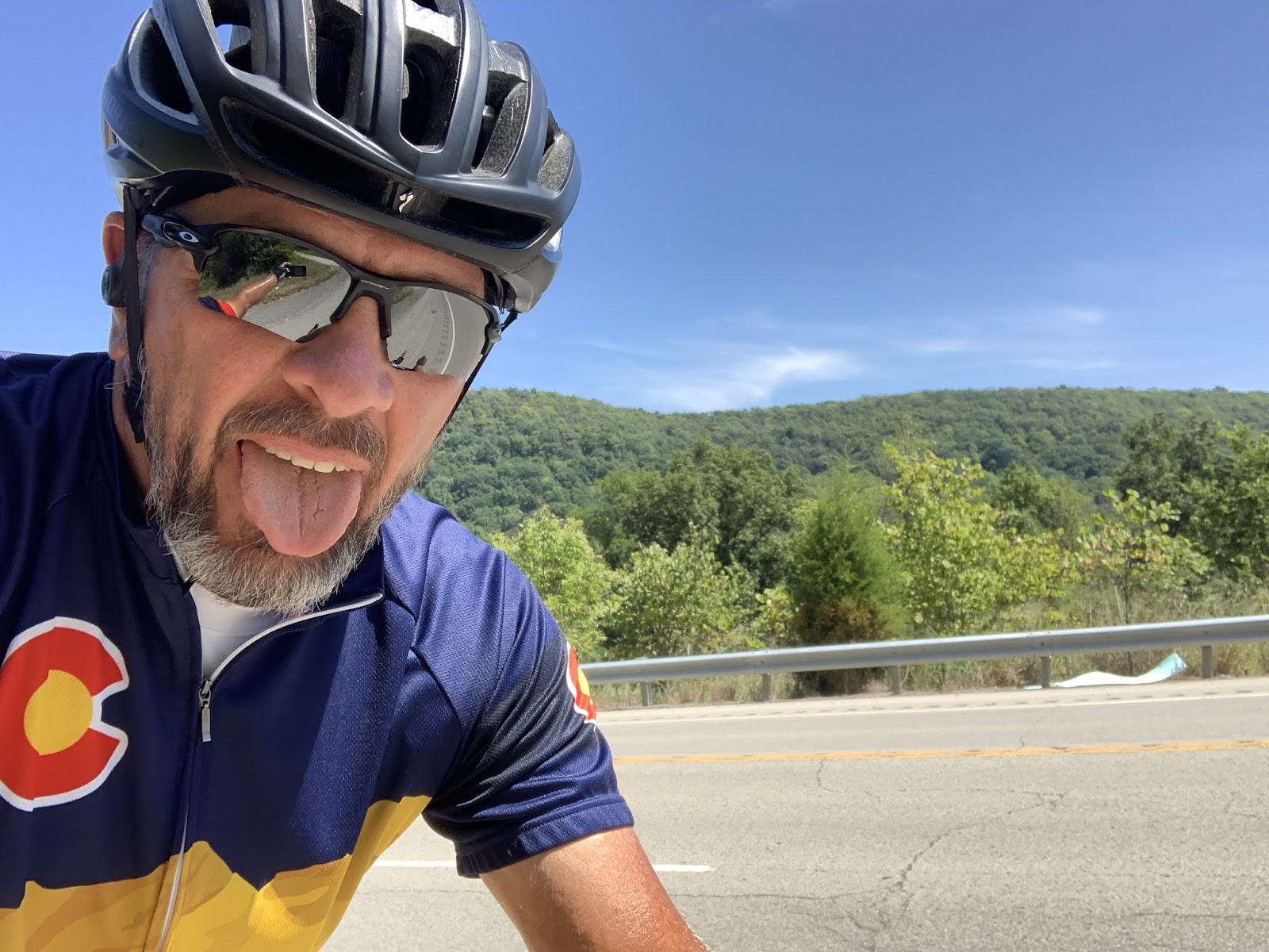
Me standing on the KY-152 bridge over the lake. Though it's kinda tiny in the pic, the restaurant we dined at last evening is on the right edge of the marina in the background.

Merriam Webster: Pastoral: Adjective - Portraying or expressive of the life of shepherds or country people especially in an idealized and conventional manner. Yup - I'll buy that.

For all the tobacco growing I thought went on in Kentucky, I've seen very few fields. Until today. Both sides of the road were like this for a good distance. I noted that these plants were all light green. I don't know if it's unhealthy or just reaching the end of its life cycle and ready for harvest. I suspect the later as I saw more barns today with tobacco hanging inside to dry.

Today's iteration of a one lane country road here in Kentucky. We were only on this one for 1.5 miles in order to cross over the ridge between two creeks. Yup - Susan was on this one too. She's ahead of us as I took this pic.

Susan was waiting with The Rig at the other end of the one lane road and I was inside taking a break when these guys showed up. From left to right: me, Eric, Jeremy and Chris. We chatted 'em up for a while and learned that they're brothers and were in the area visiting a friend. They grew up in Loretto and were able to report that the big buildings I talked about in the post a couple of days ago are used to age whiskey - which is produced at the Maker's Mark distillery located there.

Delta wanted a shot with this mailbox. He thought it was a tricycle. Easier not to explain. We moved on.

As we were leaving Berea, KY we got our first glimpse of how things will shake out as we get further into Eastern Kentucky. Yeah - that's what I thought too. Chris (two pics above) was kind enough to throw this out there for me to consider, "Oh yeah. As you get into Eastern Kentucky you'll be climbing some, well...mountains." And here I had that whole cognitive dissonance thing going for me. Thanks Chris.
It is at this point in the day, having just left Berea, that we arrived at the small "town" of Big Hill. We had planned a stop there for one of my breaks. When reflecting on this, I thought it an odd name for a town and gave the matter all the attention it was due. Which is to say, none. Shortly, the break was over (at least that's what Susan tells me to get me out the door) and off she went with The Rig. It looked like this...

Wait a minute...wait a minute - do ya suppose? Big Hill? She never came back so I had but one option...

Ride up this. It was around 2 to 2.5 miles of 6-7% with some 8% thrown in for good measure. OK - when the ACA puts out these maps, they should tell a guy, "Kentucky names their towns after hills. If there's a big one, watch out."
Me - going up THE big hill outside Big Hill, KY.

Even Delta thought it was a big hill. Brilliant. He could'a come up with that earlier, maybe???

But there was one good thing about this hill - and it's this pic. I love this one. The sky, the road cut, the trees, the (apparent) lack of effort on the rider's part, and (for you fashionistas) the casual appearance of the open collared jersey. It just all came together in this pic.

I dunno what this small house thing is, but I ran across it on the 8 mile downhill into McKee. Hey - it has a wrap around porch where ya can sit to sip your coffee on a cool morning. Ya might have to sit out there, there may not be room inside. We'll spend the night at the local high school in McKee. When Susan talked to the Principal, he was kind enough to warn us that (wait for it) the school was on top of a "big hill" and I might not want to ride my bike up. See? These are the guys the ACA needs to talk to when they do the maps.

And speaking of maps... Passing thru Berea, KY today marked the end of section 10 of the 12 ACA maps. Two more to go.

This is what section 10 looked like. Ignore the loop hanging off the bottom of the route about 3/4 of the way across the map. That's the Mammoth Cave Loop and is included as an optional (and additional) 80 miles which can be added to the route at the rider's discretion. Ya apparently go down there if'n ya wanna see a big cave. Nope - not happening.
Pleasant day in Kentucky again. High temp of 79 for the day at McKee with humidity dropping all day long. Enough wind to keep a rider cool(ish) with the only problem being that it was a head wind all day - which didn't help the average speed much. But overall, I'll take it.
Till next time.
No comments:
Post a Comment