
Wednesday, July 10th, 2019
Ride Report: 69 Miles, 1,471 Total Miles, 16.2 Avg mph, 3,324
Ft. Climbing, 5,251 Calories. Max speed
today was 42.6 mph. Also note that average speed. Pretty darned good given all that time
climbing. Woot! (Sorry, I picked that up from my daughter Kelsy. I think it’s intended to express both
excitement and approval. Maybe…)
And before the reader asks, yes, we’re over-nighting on the
Reservation. We used Google Maps to find
what turned out to be a (rather shabby) campground in which to boondock
tonight. It suits our purposes. But other than some tire tracks in dried
puddles, I see no recent signs that it has been inhabited and it shows signs of
disuse. Chief of which is that the
concrete picnic tables (which are all in good shape) are overgrown with brush. But it suits our purposes – and its
free. So here we are…

I think one would typically pay a good sum at an RV Park
next to a river. But not in this
case. We’re the only ones here. Happily, this means no one out walking their
yappers in the morning. When they do it’s
inevitable that they run into others doing the same and the dogs yap (hence the nomenclature) at each
other. The resulting yap-fest both wakes
and irritates me. But the irritation part is true of
yappers in general – so maybe that’s the real problem. But back to the day’s ride.
It went quite well.
There was obviously a good bit of climbing, but on this occasion that
equated to a good bit of descending, though for a longer stretch but not as
steep as the climb. Here’s what it
looked like…

Ignore that clutter in the foreground. The hazy range in the distance is today’s
obstacle. We started at the Moran
Entrance Gate to the Tetons this morning.
As it turns out, the climb started 8.8 miles later. I met Susan for the first time at about 10
miles. Her first words, “I think the real climbing
has started already.” She was spot on.

About a third of the way up, we met again at another
pullout. Since The Rig had been excluded
from the blog lately, I took the opportunity to snap this pic. Note the road winding back down the mountain
in the background. Then note the valley
beside the road. We’d just climbed up
out of that valley. Oh (yawn) and the Tetons in the background. I really should charge you people to see this stuff.
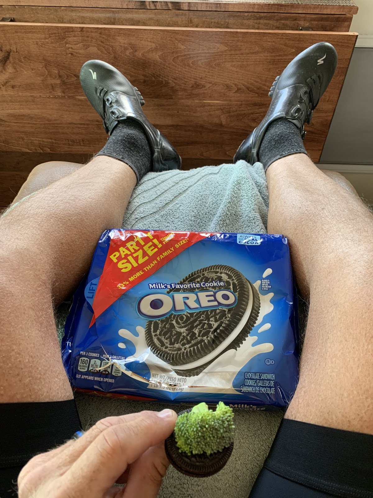
At the next stop it was snack time and I elected to continue
my research on the ability of Oreos to improve the taste of just about
anything. On this occasion one of the
vegetable food group – the dreaded broccoli.
As it turns out, the Oreo Effect (my research partner’s name for it)
even works on broccoli. This has
practical, every day uses. For example,
research suggests that parents can use Oreos to get their kids to eat broccoli. Genius!

Well now, the big dogs have come out to play. As we wound our way up the slope, our ultimate objective
became clear - that's it in the distance - lurking. Typical. Stupid mountains. Once again it’s difficult to tell from the pic,
but the section Sig is standing in is about 5% slope. The steeper section ahead ran 6-7%.

As we got closer to the top, this stair-stepped mountain
showed up off to the side of the road.
It reminded me of the way hills in the Flint Hills around Manhattan
develop the same stair step appearance.
Except its so tall nothing grows on it.
And it has snow in July. And it’s in Wyoming.

I believe that at 9,584 ft. elevation, this is the highest
continental divide we’ve yet climbed. So
far as I could tell, I didn’t suffer from the altitude. However, it was still pretty cool, though the
open jersey might indicate otherwise.
Funny story of the day. Just as I
was pulling out from the continental divide, a touring rider was pulling up
from the other side. I engaged her in a
short conversation and assured her that the fun part was coming now for both of
us and pointed out the sign in the next pic.
Her response, “About time. I
totally earned that s#!t.” The sign is
the key. See below…

I include this so that the reader can understand both her relief and her brief (if crude) description of human bodily functions. And so that the reader can see
what Sig and I climbed. We climbed the
shorter, steeper side of the mountain - if one considers 17 miles of 6% slope short.
She climbed the longer, shallower side.
Either way, it amounts to a LOT of work.

This was one of those occasions where the “pass” and the
continental divide don’t quite line up.
I’m sure hydrologists and geologists get together at conferences to
debate these things endlessly, (Zzzzzzzzzzzzzz – snork – the author wakes up)
but to the layman it’s confusing.
Anyway, they were separated by about a quarter mile. Whatever.
I was listening to my tunes as I climbed today. Bon Jovi’s “You Give Love a Bad Name” was playing
at the time. It contains a line that starts with "Shot thru the heart". How fitting…

I like to think of myself as bordering on sainthood. If I could just get the nomination process
going – any reader care to call His Holiness and recommend me for
canonization? But who needs a halo when
you’ve got one like this? Seriously,
this was “my” sign – the one for the downhill run Sig and I would take. Always a welcome sight.

This is a closer shot of that stair step mountain I
mentioned earlier. It was the one of
only two in the area. Curious. (Used by permission of Susan Schoen
Photography, LLC. This pic may not be
reproduced in any form without written permission of Susan Schoen Photography,
LLC.)

Once over the mountain, things changed quickly. Gone were the pine trees and foliage covered
slopes. They were replaced with
this. Not as eye catching, but still
interesting. I had my head down just
riding along and when I looked up, I exclaimed, “Oh!” and had to stop for this
pic. They remind me of the painted hills
we saw…somewhere earlier in the trip.
Neither Susan or I can recall right now where that was.

They continued on for quite some distance. This pic was taken East of Dubois, WY. Wouldn’t that be a great view from your back
deck. The reader should note the flags
in the pic. TAILWIND!
And that, readers, is it for the day.
Till next time.
No comments:
Post a Comment