
As a complete and total side bar, I just love to type “Honey Bear by the Sea”. But on to the ride report...
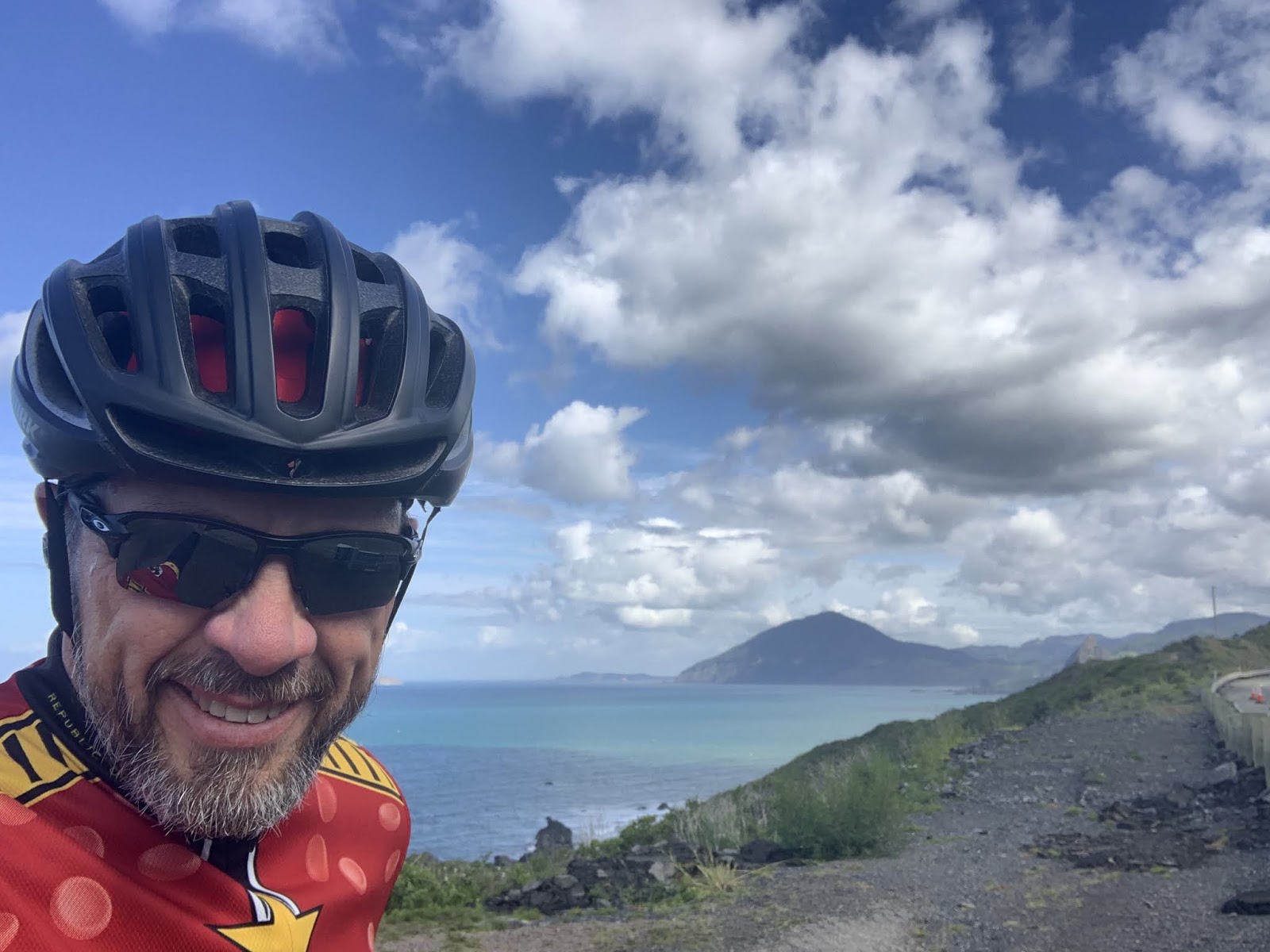
Ride Report: 22 Miles, 119 Total Miles, 14.6 mph avg, 1,658 Calories, 1,300 ft. climbing. Most of which (the climbing, that is) can probably be accounted for by the lump you see in the middle right of the pic below. But more on that later. On with the show...

When the Sequoia and I hit the road today and headed North on 101, this was our first view of the Pacific Ocean. Simply amazing. And it didn't let up for pretty much the entire ride. With the exception of that lump. Notice how it just sits there, daring you to come over and have a go.

This was the Seqouia's first view of the ocean and he was clamoring for a selfie. So I gave him the phone. Can't say as I blame him. Its so endless as to be awe inspiring and a little bit intimidating at the same time. Anyway - he yakked about it for the remainder of the ride.

Hey - what's good for the goose is good for the gander. This is me in pretty much the same spot. Examining one's selfies after taking them can be useful at times. When I looked at this one, it explained why my chest was so cold. So I zipped my jersey up and off we went. I don't know what was wrong with Susan this morning. I can't believe she let me out of The Rig this morning looking a hot mess.

At this point I assumed we were in the run-up to the "lump" which still looms in the background.
Turns out that wasn't the case - as this pic will illustrate. What the reader can't see is that we just climbed 1.2 miles at between 6-8% and have come down the other side an equal distance. When we stopped, the lump was still there - closer, but still way over there. Good Lord - how big is that thing? BTW - the Sequoia was going on endlessly about the ocean for the entire up-hill slog. He was apparently quite impressed. He had heard that Hawaii was in the Pacific and wanted to know how far away it was. Turns out he heard there are girls in grass skirts there. (Sigh)

OK - there is a bit of a lapse in pics between the last one and this one. Me cell phone battery was about to die and I avoided using it till after we had gone over the "lump" - which as it turns out is called Humbug Mountain. Again - ya can't make this stuff up. While it was a decent climb, it didn't turn out as bad as initially feared. Largely because the road went around to the right of the thing, up thru a pass between it and the other smaller hills, and then followed a creek downhill for a bit. Still - the climb was both steeper and longer than the first one of the day. We were rewarded with this view shortly after Humbug.
As an addition to the ride pics let me say that I frequently found myself smiling on this ride. Here I was RIDING BESIDE THE PACIFIC OCEAN!!!!! Oh yeah - and not at work. Occasionally life turns out better than one anticipates. Speaking of which...

This is Susan and I at Battle Rock Wayside State Park. The town of Battle Rock is located there as well. She met me in the parking lot of a much abused motel (not currently in service) so I could take a shower and we could have lunch together. Battle Rock is a big deal locally. When the guy who founded the town showed up with 9 men to do so, the local natives didn't take kindly to his attempts. The settlers set up on Battle Rock and held off the indigenous natives till they could slip away under cover of darkness. The guy came back the next year with 70 armed men and a small cannon. I think we all know how the story goes from here.
Bah - Humbug doesn't look like such a big deal from the Battle Rock side. (The reader should take note of the rhetorical flourish encapsulated in the author's grousing about Humbug Mountain. The author thinks its hilarious.)

From there 101 abandoned the coast for a bit and wandered inland. Still pretty, but not visually stunning, as was the coast.

But shortly 101 returned to the coast.
I might add that the route today took us across any number of rivers, creeks, bays and estuaries. All of which required bridges. Some pics of which are below.

I thought this was ingenious. Also good to know since I'll spend the majority of the first two days of the ride coming back down a portion of 101. Though I didn't include the pic, they also have the same set-up for the one tunnel we went thru.

I thought this one was pretty impressive. All that iron work and then the two spires at the entrance. Very grand.

This one was a steel bridge with concrete abutments. Note the pattern on the face of the abutments. Very art deco. I'm thinkin 20s.
On a bit of a different tack - I don't think I've mentioned that since hitting the Northern California mountains coming out of Redding and continuing thru today, we've seen a lot of logging trucks. Full ones, empty ones (how do they manage to break that trailer down and store it on the back of a bob-tail semi? I gotta get a pic of one of those. Or I guess I could just ask Susan...) BTW - your free dose of comedy for the day. Get on YouTube and search for Brian Regan's logging truck schtick. It'll be the best 5 minutes you ever wasted...
Anyway - we encountered this - right along the edge of a river. It was in a town that had an industrial flavor and from a distance I thought it was a sand quarry. But...

Upon further review, the "sand quarry" decision was overturned. Turns out that its a huge pile of very small wood chips. Looked almost as if it had been shredded? The only thing Susan and I could come up with was that it was prepped for use as wood pulp and sits here waiting to be shipped to parts unknown where they...make stuff...from wood pulp. At least that's the technical explanation.

There were also piles and piles...

...and more piles and piles of these. All were debarked and appeared to have been sorted by size. But of course, all this means that views like this (see below)...

...were inevitable. While it is a bit of an eyesore, one must also acknowledge the uses to which wood and wood products are put. The ecologically friendly reader will note the clear cut area nearest the road. However, in the mid distance, the short light green area is comprised of trees replanted after that area was clear cut. And in the far distance, the reader will note mature trees. Thus the logging companies insure their survival and meet the world's need for wood. Makes ya wanna break out singing "The Circle of Life" doesn't it?

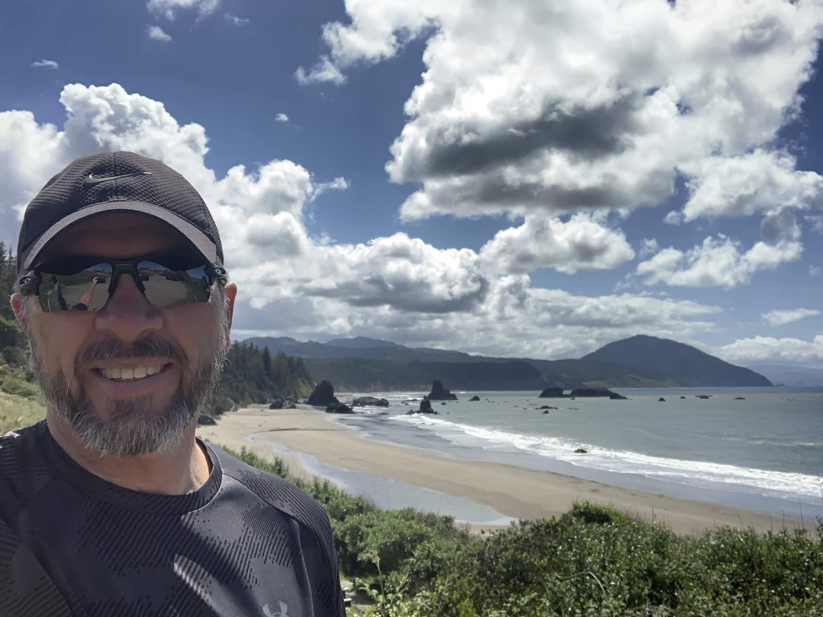
But alas, we were soon back to ocean views again. The reader should note the author's sporty facial hair. It was Susan's idea after I retired.

These, dear reader, are HUGE sand dunes. Turns out there's a national park of sand dunes along the coast here. People apparently come here with their mechanical toys and roar around in the dunes with them. While not for me (Who wants sand filling their underwear at the end of the day, after all?) I can see how those less perplexed by friction in their pants might find it invigorating.

And that's it for the day. It was both fun and interesting. We loved the sights along 101. Oh, Wait... One last pic, from Susan Schoen photography, LLC...

She must have taken 20 photos on final approach to the lighthouse. One, yes ONE, came out showing the lighthouse. I zoomed it a bit and "walaa" the blog's coolest ever lighthouse pic. Used by permission. (She loves lighthouses.)
Till next time...
No comments:
Post a Comment