
Ride Report: 27.6 miles, 97.0 total miles, 17.3 mph avg, 1,950 calories, 170 ft. climbing. The reader may note that this route was especially flat. Given that, the reader might rightfully inquire as to the reason for my relatively low average speed. The reason for this anomaly will become apparent later in this post.
The day started off well and ended the same way. First up was a ride. It had been a few days since Delta got to spin his cranks, so he was ready and rarin' to go. So let's get to it...

We left Les and Irene's place and within just a couple of miles ran across this odd dandelion. It piqued our curiosity.

Until we saw two shorter, bushier versions. Clearly something was afoot...

But we are nothing if not easily distracted and this sighting of the Sacramento River quickly removed all thoughts of giant dandelions from our minds. Interestingly, the river was apparently widened for commerce, largely by virtue of the efforts of man and beast when doing so was the way of things. However, we understand that it has since been supplanted by a larger waterway a few miles to the West. So - not much boat/barge traffic here nowadays.

AH-HA! So this is how they spread. By infecting the brains of intrepid cyclists and thus being transported to locations previously not afflicted by this blight. Now that the cycling public is aware we should take steps to stop the spread. Unless of course, we want sunny skies and temperate conditions to overtake the country. I think not. I shall be doing my part from today forward.
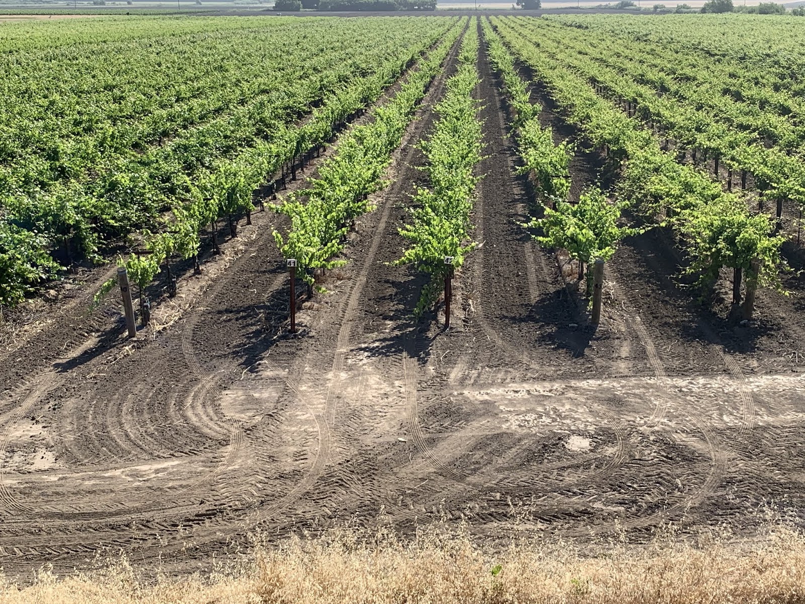
More grapes. What are they - groves, fields of, gaggles? I'm clueless, but there are miles and miles of them hereabouts.

These, good reader, are pears. I hear from a local that the shrubbery around the field has the purpose of reducing wind amongst the pear trees. So, if this is wrong - blame Irene. Just sayin...

Note that there are no pear trees sprouting from my noggin. Thus proving that only tall, awkward dandelions are spread thusly.

Delta just couldn't pass up this river shot. The road we're on is on top of the levee. Very flat.

The bridge at the turnaround point. There is another about 10 miles south of where we joined the levee road, but to cross and go that far South adds another 10 miles to the ride - and we need to get back to we can get The Rig rollin down the road toward today's destination.

These two are Rudy and Caroline. Rudy being the bearded one in front. As I was headed North on the levee road and about to arrive at the previously mentioned bridge, they passed me headed South. After I turned around to go back South I eventually caught up with them. This necessitated a slowing of the pace to chat them up. Turns out that Rudy is Dutch and Caroline is from the Philippines. They had previously lived in San Francisco, but moved to this area in order to get away from the high prices. According to them, everyone is trying to leave. That should prove interesting. Who, for example, would paint the bridge? I see disaster in the offing...

Les and Irene's place and our place. Ours is the one on the right.

Brad, Irene, Susan and Les. Good Lord, I feel like Gandolf...
OK - Susan is gonna insist that I report that she squatted for the pic in order not to obstruct the reader's view of Irene. That's her story and she's sticking to it. Take it up with her if you must.

This is the same Sacramento River along which I rode this morning - albeit further North. This pic was taken, interestingly enough, just West of Sacramento.

Rice paddies. Never seen these before, but there were a bunch as we worked our way North in the Central Valley.

It was interesting to watch the mountains grow closer to I-5 on both sides as we worked North. By the time we got to Redding it was apparent that we were gonna have to go thru them (not that we were previously unaware) to get to where we wanted to be. I think the snow capped one is Mount Shasta - elevation 14,179. Pretty impressive given that we're still about 70 miles away. But at that elevation, I guess it makes sense. Its roughly the same height as Pikes Peak in Colorado, which we can see from our daughter's back deck in Palmer Lake, CO.

And sure enough - we know the drill...

And finally, a couple of shots of a lake up in the mountains after passing thru Redding, CA.

Unfortunately it looks like a wildfire blew thru the area not too long ago. When we checked in to the RV part, Steve (who manages the place) told us that there had been a couple of different fires in the area last August. They even had to evacuate. The best known of these fires was the Camp fire, named after Camp Road where it started. According to Steve, the Camp fire burned over 100k acres and caused significant damage, though that's not the burned out area in our pics. Regardless - terrible.

And finally readers, our home for the night.
Till next time.
No comments:
Post a Comment