INTRODUCTION

Where to begin? It was a dark and stormy night...  (Snoopy).  No. It was the best of times, it was the worst of times...  ...

Monday, September 2, 2019

The Thin Blue Ride - Part 2 Day 86 - Buchanan, VA to Vesuvius, VA

Monday, September 2nd, 2019.

(A holiday for the reader, but the author is working diligently to provide interesting content for each and every one of you.)

Ride Report: 48 Miles, 3,976 Total Miles, 14.1 Avg. mph, 3,054 Ft. Climbing, 4,035 Calories.

Let me get this out there right away - to the extent that I can dissuade the reader from it, it’s not necessary to send expensive gifts to our home address when I pass the 4K mark tomorrow.  Just sayin...

Oh - and this...  If you read yesterday's post early (I know there were two of you by the time I modified the post.) and didn't see something about the kindness of strangers at the bottom of the post, go check it out again.  I added it late after someone came to the door of The Rig bearing food.

As for today, there were still some great sights to see.  The countryside wasn’t quite as remarkable as yesterday, but even in small snatches - amazing is still amazing.  That’s kinda how today was.  But to be honest, my focus isn’t today.  It’s tomorrow.  As I sit here typing this post, I can see tomorrow’s climb out the window.  I’ll provide the reader all the details in tomorrow’s post, of course, but at this point the only word I can come up with is “intimidating”.  Some of that is the unknown.  But some of it has a basis in reality.  Example: I rode the hill beside Dennis' house this morning before leaving Buchanan - it was 7-8%.  Recall that Dennis told me Vesuvius was steeper than the road beside his house.  By my math, that puts it in the 9-10% range minimum.  But I should probably give it a rest, I’ve been worrying about Vesuvius like a dog worries a bone.

As mentioned previously, it was a short day today at 48 miles.  And as planned, here we sit tonight just off highway 56 at the East end of Vesuvius (the town) ready and rarin to go tomorrow morning.  Another nice stop over for the night in the Baptist Church parking lot.  But we had to get here first.  Getting here looked like this...


The day greeted Sig and I with this scene while crossing over the James River as we left Buchanan this morning.  This would be our first crossing of a river that feeds Chesapeake Bay, where The Thin Blue Ride will end in Yorktown.  Is this not an amazing scene?  I love the languid river in the foreground and that the rapids commence just under the sun in the distance.  And then there's the sun - obscured just enough by the morning mist to make the entire shot possible.  The people on the boat were fishing BTW.  When I asked (shouted) "Are they biting?" both responded in the negative.  And right after crossing the bridge, the climbing started.


The route today generally paralleled I-81 early on.  I was on two or three different frontage roads (they all had different numbers, at least) that were close enough I could make out all the noise from passing cars and trucks - but couldn't usually see them for the trees.  The exception being when I passed over or under I-81.


This is a pretty typical example of said frontage road.  That building is the Old Red Mill.  I know this because there was a sign saying Old Red Mill.


And right across the road from the mill was this house.  I gotta believe the house was originally owned by the guy who had the mill.  Such appears to still be the case since the house is a B&B and the sign out front linked the house to the mill.  Were it not for the ride and ride deadlines, it'd be interesting to stay.  Susan mentioned today that in a couple of years we might have to drive the route and set up camp in interesting locations and then go exploring for several days.  Sounds good to me.  There have been a lot of interesting things we've had to pass by.  We've seen a lot - but left a lot unseen as well.


As the reader can tell, this road isn't quite as good as the one in the previous pic, but the scenery is still top notch.  Sig handles these roads better than Delta - which is to say that he transmits less of the road vibration to my sensitive anatomy.  We'll leave it at that.


The pic doesn't do it justice, but we could see forever down this valley.  Plus - the tree in the foreground really frames the shot well.  


Today had us going thru Lexington, VA.  I passed these guys, who were pulling a group of tourists.  Hey - they were going slow and I wasn't staying behind horses.  Anything Sig's tires go thru gets spun off onto my shins.   Yuk.  There was evidence in the roadway later that this was a good move.  At least when we're not right behind the offending horse, we have time to dodge.


Downtown - Old Lexington on Business 11.  There were some cool old buildings lining the street.  After so long in the country, the boys can never make the quick change to city driving.  In the city ya hafta "own" your lane and "ride big" or the cars crowd ya out.  We did fine.


I took this one while waiting at a stop light.  One of the locals asked me if I knew what that glow was behind the steeple as he'd never seen it there before.  I told him it follows me everywhere.


ANOTHER ONE!  These scenes just slap ya in the face when ya crest a hill.  I would formerly grind up the hills and then head over the top and down.  I've since learned that if I stop there to squeeze the sweat out of my helmet and gloves, I can catch some nice scenery.  Such was the case here.  We eventually rode to that line of mountains and turned left to follow them to Visuvius.  That's the same range we get to cross over tomorrow.  


Unfortunately we also run across some not so great scenes.  Yesterday in Buchanan we heard about this gas station.  It suffered an explosion in May that killed the owner, his son and grand daughter, and one patron.  Because it bears mention, their names were Roger, Kevin, Samantha and Paul.  Sad.


The Rig leaving Sig and I at the top of the last climb of the day.  Often times we can keep up with The Rig on the downhills, but once the grade turns upward, not so much.  After driving some of the roads she has, I'm sure Susan classifies this one as a good road.  Ya can tell - it's wide enough that it has a center stripe.  She says she thinks she has probably averaged 30 mph since hitting Kentucky.  She should try pedaling.


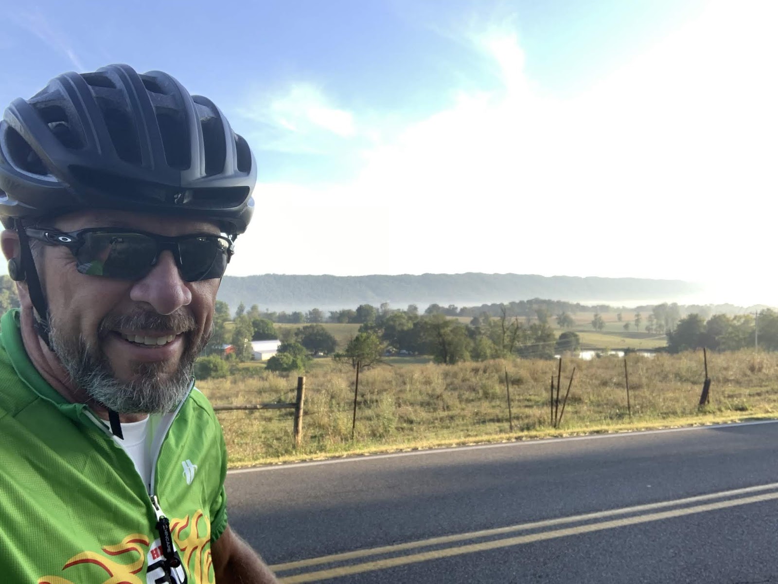
Me - with the last uphill of the day behind me, that explains the smile.  The Rig had just left in the previous pic.


This is the scene out the front window of The Rig.  Gotta get over those mountains in the distance tomorrow morning.  That road to the left of the house is highway 56 - it connects with The Blue Ridge Parkway 3.7 miles thataway.

Tune in tomorrow for more exciting news from The Thin Blue Ride.

Till next time.


Sunday, September 1, 2019

The Thin Blue Ride - Part 2 Day 85 - Christiansburg, VA to Buchanan, VA

Sunday, September 1, 2019

Ride Report:  62 Miles, 3,928 Total Miles, 16.2 Avg. mph, 3,432 Ft. Climbing, 5,102 Calories.

It was a fun day today.  While there was plenty of climbing, much of the course trended downhill.  It works like this - the crest of the next hill isn’t quite as high as the one ya just topped.  There were exceptions to this rule, of course, but it generally remained true.  As evidence of same, check out the average speed for the day.  Dunno that it’s ever been over 16 mph with that much climbing.  So - as I said - this made for a fun day.

As to the more esoteric aspects of today’s ride, the scenery was to die for.  This tailed off a bit in the final third of the ride, but the first two thirds of the ride were absolutely gorgeous.  On one occasion I happened to catch up with The Rig and it was stopped in the middle of the road.  I suspected the Teamster was up to taking more narrow road pics.  But when I got there, she had just stopped to talk to a local out checking her mailbox.  Susan wanted to let her know how beautiful the countryside was here in Virginia.  The local agreed.  So - the attentive reader will note that shots of the countryside figure prominently in today’s post.

And if’n ya wanna move here after seeing some of these pics, I can’t say as I’d blame ya.  Here we go...

This came into view right out of the gate this morning.  At (or near) the bottom of a 2.5 mile descent.  I slammed on the brakes for a pic.  That's a mist shrouded highway bridge transiting the valley in front of me.


And for you JD'ophiles, these two green tractors sitting in a mowed field of grass with the misty mountains in the background can't be beat.


Sig got this shot of the second low railroad overpass of the morning.  The first was in Christiansburg and I called to tip Susan off before she got out of the church parking lot.  Needless to say, she took a different route.  As a result of her detour, she didn't have to deal with this one - only 10' clearance according to a later sign.


OK - you all should be paying me for this.  This is so cool.  Pasture in the foreground, mist, mountain, cloud - or is that another mountain?  Wow - just...wow!


AMAZING!  This is the stuff motivational posters are made of.


Every time I came around a bend in the road something else beyond description appeared as if by magic.  The countryside here is stunning.  If you're ever looking for a place to vacation because you enjoy the scenery - this would be it.


And then there are these cool little distractions - like original log cabins, now abandoned.  I saw several of these today.


This is Susan and Kendra.  When I made it to the first break 15 miles in to the ride, Susan had already talked with her (imagine that...) and she knew we were from Manhattan.  She also knew where Manhattan was!  Her husband is an ag-econ guy and makes trips to Manhattan - what with KSU being the holy grail of ag-econ.  Readers should note the covered bridge in the background between the tree and the white post.  Kendra and her husband built it over a small creek so they could access their cabin up on the mountain behind their place.


Shortly, I caught these two jokers sneaking thru the fence to jump on the kids' trampoline.  After a stern lecture about the weight limits of the trampoline (I had to show em a warning label to convince em.) I think I got em to go back to doing regular cow stuff.  Ridiculous - apparently the farmers around here are raising irresponsible cows.  Next thing ya know they'll be chasing cyclists and mooing at them.  (Do they make cow spray?)  Or - worse yet - leaving cow pies just around the corner of hairpin curves on steep descents.


More countryside - and a first here at The Thin Blue Ride - a profile shot while riding.  Listen, it's not as easy as it looks.  But in deference to input from the Work Safety Department, I'm keeping my eyes on the road.  The Work Safety Department was impressed...


...until she saw this screen shot.  It was apparently taken accidentally in the process of putting my phone away after taking the previous pic.  I've no idea how this happened.   The Work Safety Department's immediate response?  "Why are you riding on the wrong side of the road?"  Crap!  But being quick on my feet, I claimed it was due to the Coriolis Effect.  (Google it)  That seemed to confuse her long enough for me to delete the pic.  Now in another first here at The Thin Blue Ride, I can claim ignorance.


Holy Cow Batman - more great scenery!


OK - this is just getting crazy now: cows along a meandering creek in the bottom of a narrow valley viewed from the road about a hundred feet higher.


These two are Rico (he's got the problem with his thumb) and Michael.  Rico is from Germany and Michael from New York.  We found each other at the top of a hill - which is a great place to stop and chat because everybody gets to go downhill afterward.  If I understood correctly, they just met up about a half hour ago and both happen to be headed to Santa Monica, CA with the goal of arriving around the end of October.  Since they just met, it's still up in the air as to whether they combine forces for the trip or not.  A lot goes into a decision like that: riding styles, personalities, early bird vs night owl, etc.  Regardless, good luck to both of them. 


I think I crossed railroad tracks 6 times on the final run-in to Buchanan.  On the last one, this guy rudely interrupted my ride.  Hmmm...  bike vs. freight train - nothing for it but to wait, I guess.


Susan and me at our digs for the night next to the Railroad Inn.  It's aptly named for two reasons.  One: the old passenger car in the background of this pic.  Two:  the tracks are about 100 ft. to the left of where The Rig is parked.  Should make for an interesting night - we'll turn the fan on high for some white noise.

And just so the reader won't be surprised, today was the last 60+ mile day of the ride.  When we evaluated our arrival date at Yorktown a little over a week ago, it was apparent that we were slightly  ahead of schedule.  As a result, we elected to shorten up the days a bit.  The next two days will be in the 40+ mile range - largely due to Vesuvius, as discussed yesterday.  After that, mostly in the 50+ range with a 40+ or two mixed in.  We're still on schedule to arrive in Yorktown on September 8th, absent input from Hurricane Dorian to the contrary.  I haven't checked the cone today yet - we shall see.

This just in here at The Thin Blue Ride...

In yet another installment of the kindness of strangers...  After I originally published tonight's post, this gentleman came to The Rig bearing dinner for us.  He had stopped by the local BK and snagged us a couple of burgers.  His name is Dennis.  Susan walked up on to his porch and introduced herself to Dennis and his wife Jean when she was out scouting the best way to get The Rig out of town tomorrow.  (The RR tracks here are quite steep on both sides and can cause our trailer problems if it drags.)  They told her then that they were gonna bring dinner by.  We talked in The Rig for a bit and he gave us some excellent advice on getting The Rig up to The Blue Ridge Parkway.  I think we both feel a bit better about that now.  I also asked how steep the grade was.  He replied that it was steeper than the road that goes past his house.  So - in the morning when I leave town, I'll make a point of riding his street to see how steep it is, thus having at least a hint of what I'll be facing when I do the Vesuvius climb.

Till next time

Saturday, August 31, 2019

The Thin Blue Ride - Part 2 Day 84 - Wytheville, VA to Christiansburg, VA

Saturday, August 31, 2019

Ride Report:  58 Miles, 3,866 Total Miles (this straight from the Accounting Department), 14.1 Avg. Mph, 4,042 Ft. Climbing, 4,685 Calories.

Wow - that’s a lot of climbing given that there were no mountains on the elevation chart today.  However, there were constant hills.  I was either going up or down all day - there was no “flat”.  The steepest hill I saw today was 13%, but it only lasted for maybe a quarter mile.  Outside that nothing too difficult, tho in all honesty my definition of difficult has changed considerably since the beginning of the ride.

And as a bit of an aside, the curious reader may wonder why the ACA looped us down near the Tennessee border before heading us all the way North to pass North of Richmond, VA.   I think part of it is scenery and part of it is safety  They wanted to get us to Damascus (near the Tennessee border) because of all the trails that pass thru that town - that explains the move South. And they want to get us on the Blue Ridge Parkway - more scenery.  So far as safety is concerned, it appears they’re making every attempt to take the route less traveled, even if it means more miles.  And less traveled routes are getting increasingly hard to find as we work our way toward the coast.  Plus, passing just North of Richmond puts us in an excellent position for the final miles toward Yorktown.  We’ll see how it all shakes out.

The cool weather has passed - at least for now, and it appears temperatures have returned to normal  for this time of year - this according the the ACA maps, which include a handy weather averages chart.  Don't get me wrong, it's nothing like the misery we experienced in Missouri and early in Kentucky, but it is warmer.  So, while today was a good bit of work, I wouldn't classify it in the top ten for the trip. 

As far as I'm concerned, only one day has a shot at the top ten for the remainder of the trip: Vesuvius.  Vesuvius is actually a small town low on the side of the mountain leading up to the Blue Ridge Parkway.  We'll overnight there the day after tomorrow having done a small part of the climb to get there, then tackle Vesuvius the following morning.  Anyway, as time has passed, T/Aers have begun referring to both the town and the climb as Vesuvius.  That the town (and hence the climb) are named after a smoldering volcano in Italy which wiped out entire towns in 79 AD is not lost on me.  Susan and I had the foresight to make Vesuvius day a short day at only 48 miles.  So if ya only read the occasional post: first, shame on you; second, tune in for all the action on September 3rd.  Kinda like only watching the final day of the Tour de France, but at least you'll know who won - me or Vesuvius.  (It was an analogy.  If ya wanna know who won the Tour, Google it.)

Enough of my blather, here's today's ride...


As the reader can see by the pic there was some low lying fog in the valley this morning.  We were fine in Wytheville and unaware of this fog till we saw it from above.


On the way to the fog, I saw these two horses and thought it was a great scene - so naturally, a pic is the result.  Ignore the horse on the right with his tail up, nothing is happening...yet.  This was the horse version of snapping a great pic across lanes of traffic right before a car passes thru the scene.  (Another analogy - if ya don't understand ask someone who grew up around animals.)


Some of you readers may know that one of the things on our post ride list is traveling to the Northeast coast and looking at lighthouses.  Think coastal Maine.  If the weather is still cooperative, that's our plan anyway.  If not, I snapped this pic for Susan just in case.  I'll inquire of the Accounting Department to determine whether seeing an actual lighthouse is preferable over saving the cash and looking at this pic.  Me?  I'm all for seeing the real thing.


The blue sign proclaims that Pulaski County, VA welcomes T/Aers and gives a phone number to call if they want anything from side trips to showers to places to sleep.  A big thumbs up to Pulaski County.  I've not seen anything like this elsewhere along the route.  The phone number is probably answered by the Tourism Director at Mouth of Wilson...


This is a pretty typical shot taken by Sig.  Little did we know that when we hit the crest of the hill at that small gap in the trees in the distance...


...this was the scene we would be greeted with.  I immediately slammed on the brakes (not a big deal at the crest of a 9% hill, BTW) and stopped.  I think we stood there 5 minutes just soaking up the view.  As we did so, a small car came up the hill toward us and pulled to our side of the road.  It was an old, local guy who asked where we were from.  When I said Kansas, he responded, "Well I'm not!"  We then had an all to brief conversation in which I assured him that they had some awesome views here in Virginia, but that the hills made ya work for the views.  He agreed and went on his way.  This more than made up for the idiot in the small car later who, as I was going up a hill, shouted "Get off the road." as he passed.  As luck would have it, I was near the crest and right after going over the top, there was a stop light.  I pulled up beside his open passenger side window and we exchanged pleasantries - during which I reminded him I was on a state sanctioned detour from what would be my normal route.


This was the detour on which I met the obnoxious Virginian who shouted at me.  (It's true - I was the victim of a drive by shouting.)  A bridge was out, hence the detour.  Many times a cyclist can get around these "out" bridges.  There was no work crew today what with it being the holiday weekend, so I inquired of a couple of locals.  Neither knew the exact stage of the demolition of said bridge.  So - it was 1.5 miles downhill to check it out on the chance that I could cross.  But if not 1.5 miles back up the hill and then the additional detour miles.  One of the locals assured me the detour would only add 1.5 miles to the route.  I decided not to take the risk and just went with the detour.  It added 2 miles, so he was close.  Really, after 3,866 miles what are two more?  The Accounting Department says 2 more miles is .0517% more miles.  Accounting Departments struggle with rhetorical questions...  


On the up side, I met these two on the detour route.  Say hello to Sue and Matt Cook.  They've been married four years and Sue is training to do her first triathlon.  Matt has already done four.  Since this is her first time, they decided on a shorter "sprint" triathlon in which all the distances (swimming, cycling and running) are reduced.  I hear from those who've done them that they're a good way to get into the sport.  Not for me tho - the Doc says no running with the fake knee - thank God.  I hate running.  Interestingly, Sue was riding a Specialized Sequoia - the exact same bike as Sig.  When I asked she said hers was 12 years old and she had rescued him on-line.  Hers was the exact same color and had the same set-up Sig came with when he was born.  She asked how old Sig was and I told her he was 14 and had probably 27k miles under his belt as a result of this trip. They both seemed surprised.  Sig took this well, believing they must have thought he looked in pretty good shape given his age.  I said nothing.  


This is a shot of me pulling in to one of today's breaks.  Susan says she liked it because of the mountains in the background.  I'm pretty sure it's the spandex shorts.  I checked with Sig.  He said nothing.  Curious.  (Used by permission of Susan Schoen Photography, LLC.)


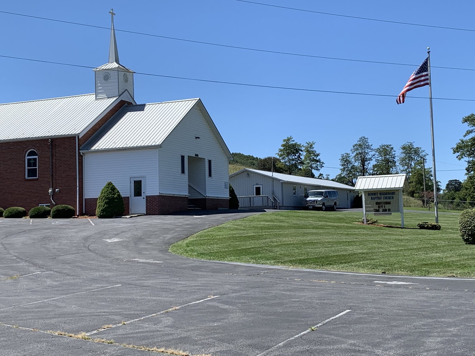
This is the parking lot where said break took place.  Church parking lots have "saved" us (if the reader will forgive the play on words) since leaving the mountains.  But if you're staying in one Saturday night, be sure to vacate the premises before the faithful arrive Sunday morning, or ya might not be able to get out till after the service.  This is not a problem for us since we're hitting the road NLT than 0730-0800.  They've all been very gracious letting us stay.  I don't think a single one of our requests to overnight at a church has been denied.


The New River - which is a surprising name since it is apparently tied with two other rivers as the third oldest on Earth.  Here in Virginia it's much calmer than the New River in West Virginia, where my lovely bride famously attempted to shoot the rapids in an inflatable canoe.  It didn't turn out well.  I tried to talk her out of it.  She said, "If I can drive the big rigs, I can paddle an inflatable boat down a river."  Yeah - I'm pretty sure that's what she said.  Ask her about it some time.  All I know is that our tour guide was surprised she could hold her breath for so long.


A better shot of the New River from the bridge over same leading into Radford, VA.  Note the groups of people drifting lazily down the river with the current.  This reminds me of float trips we saw on the Niobrara River in Nebraska when Susan and I did the Tour de Nebraska on our tandem several years ago.  It appeared those trips were mostly an excuse to guzzle beer.  Note the cool old railroad bridge in the background.


Also in Radford, the T/A route went thru this cool City Park for about a mile.  It's the only bike path I've been on that wasn't crowded with walkers and yappers, or walkers with yappers.  I loved it.


Well readers, Christiansburg represents the end of Section 11 of the ACA maps.  Only section 12 remains.  We start on it tomorrow.


This was the route for Section 11.  The reader can make out the bend South to Damascus, VA and the beginnings of our move to the North.  More on this as it develops.


I thought I'd throw this in just for kicks.  The blue dot is us.  I think I did this way back when we started the trip.  If not, it's a great idea and I should have.  Not far to go now.

Till next time.


Friday, August 30, 2019

The Thin Blue Ride - Part 2 Day 83 - Damascus, VA to Wytheville, VA

Friday, August 30, 2019

Ride Report:  57 Miles, 3,808 total Miles, 14.5 Avg. mph, 3,714 Ft.Climbing, 4,364 Calories.

The reader had not ought pay to much attention to the average mph today.  This because the best part of the day (an 8 mile downhill of up to 7%) was in large part negated because the tree cover was so thick it blocked Garmin’s satellite reception.  No satellite = no distance upon which to gauge speed in the moment.  Thus, it had no idea how fast I was going and consistently showed speeds ranging from 3.8 to 15.0 as I descended in my big chain ring at what I know to be in excess of 28-30 mph for much of those 8 miles.  What the average mph should be is known only to the Cycling Gods or someone who cares to do the math on my mileages and ride time.  I am neither.  Perchance if we suffer another rain delay I can assign the Accounting Department to do something constructive this time.  We shall see.

Speaking of rain, we’re keeping a watchful eye on tropical storm Dorian.  As of now, even the most disadvantageous of “cones” doesn’t appear to cause us any problems.  However, the cone just predicts the eye of the storm and the rain squalls may spin off a considerable distance from the eye.  I hope it doesn’t delay the finish of the trip considerably.  I’m not sure I can keep the Accounting Department out of mischief for several days.  Readers should post their ideas for Accounting Department “make work” just in case.  I’d appreciate the help.

Yup - it’s official - I like Virginia.  The landscape is becoming more and more enjoyable as we move east - tho there was a lot of North to today’s route.  If you’re curious, just plot it on Google Maps.  It won’t give you the same roads we traveled, but it’ll give ya a general idea.  Temperatures continue to be moderate.  Two observations regarding temperatures.  1: We had to run the heater for a few minutes this morning just to warm up The Rig.  I think the overnight low in Damascus was 52.  2: I haven't had sweat run into my eyes/mouth/nose for two days now.  I especially enamored of this one.  And these temperatures make for “easier” climbing, which comprised most of the first 20 miles today.  Speaking of which - here’s the day in pics...


Ready to start the day.  This is the first time I've worn leg and arm warmers since Colorado.  But it was pretty cold this morning.  They stayed on till after the second climb and descent of the day.  I was not enthused about today what with the three big climbs.  And they were first thing out of the gate today.  Within 2 miles of leaving The Rig I was on the way up.


This is the creek I followed up the first climb this morning.  It was considerably smaller (in fact it had disappeared entirely) by the time I reached the top.  But it was an interesting diversion.  There were a couple of small waterfalls and occasionally the rocks interrupted the flow of the creek enough to create small "rapids".  Hey - it kept my mind off what I was doing at the time.  That counts for something in my book.


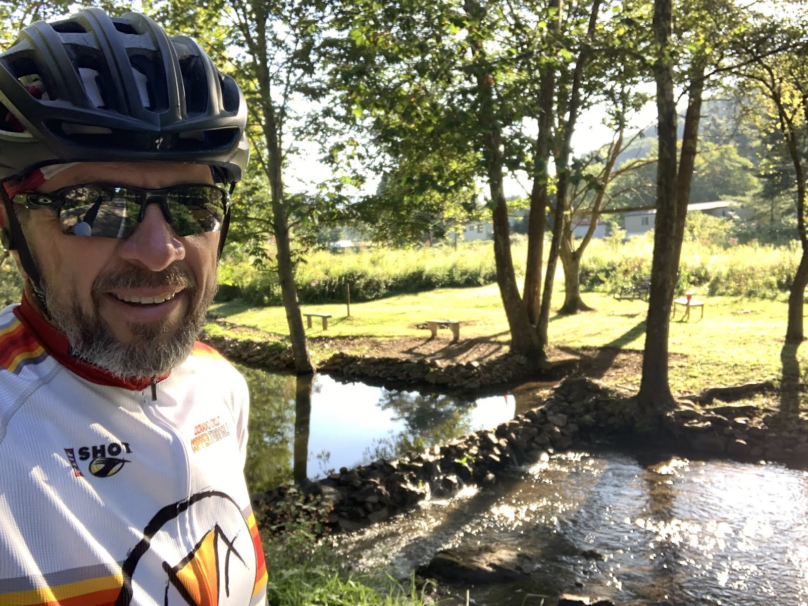
And on the way down from that climb, some enterprising Virginian had carted rocks into the creek on the down slope and created this small "lake".  As the reader can see, they had mowed the bank down and placed benches and a picnic table.  There was also a rebel flag and a big "NO TRESPASSING" sign.  Sorta ruins that warm fuzzy feeling I was getting from first observing all the work they did.


This church was right beside my first rest stop of the day at the bottom of the first descent.  It was a Lutheran church.  A bit of a first for us in quite some time.  The Baptists apparently take after bunnies in these parts.  Ya can't swing a dead cat without hitting a Baptist church.  There are Free Will Baptists, Old Regular Baptists (I kid you not - they make quite a deal of it) and Missionary Baptist churches.  But Lutherans are apparently a bit more discriminating in their procreation, thus limiting their numbers?  Used by permission of Susan Schoen Photography, LLC.

A shot going down one of today's descents.  Garmin lost satellite signal for a bit here, but nothing like the descent described in the ride report.


This is what I mean when I describe the terrain as becoming more rolling and less severe here.  Having crossed over the "new" Appalachians this morning, we're now in what the ACA maps refer to as "The Great Valley."  This valley is apparently bordered on the other side by the "old" Appalachians.  From what I understand the two mountain chains were raised in different geologic times, thus the "old" ones have been subject to more erosion.  We'll eventually climb up out of this valley onto the old Appalachians to the Blue Ridge Parkway in a few days and that will be the last big climb of the trip. 


This was the peak of the highest climb of the day at right around 3,700 feet.  That green sign on the left proclaims our passing from one county to another.  This typically portends a change in the road surface - in this case for the better, which was handy since it let us keep our speed up on the descent.  Additionally, I started noticing this in Kentucky and it has continued here in Virginia.  It seems that County lines around here are frequently established along the ridge lines of mountains.  I suppose that's a handy way to go about it.


When we made it to this intersection Sig and I agreed it was a good thing that the bike route sign pointed to the left.  Neither of us wanted to go to "Mouth Of Wilson" - which was to the right according to the green sign.  For God's sake, who names a town Mouth Of Wilson.  How'd you like to be the tourism director for Mouth Of Wilson? 


This is the start of the down slope where the trees interfered with my Garmin.  Believe it or not, the tree cover got even heavier as we descended - and this went on for miles.  Note the blurred shadows on the pavement.  We were moving right along when I took this pic.  It was nice and cool tho.


A nice shot of a small farm house.  I stopped on the way down to take this pic.


We stopped in the parking lot of this (what else?) Baptist Church for a break today.  The reader should note the flag - that signifies a tail wind.  If, that is, Baptist flags are to be taken at their word.  If so, this would be good news because I think this stop was around 45 miles into the trip today.


Another cool pic.  I like these disheveled old farmsteads with mountains in the background.  I feel a bit uncomfortable using the term "mountain" on something less than 3,500 feet in elevation, but when in Rome...


This church appeared just after I crested the hill upon which Rural Retreat, VA sits.  It just begged a pic.  I noted two things as I passed.  First, it was another Lutheran church.  Apparently they're making a stand here.  Second, it has a red door just like the earlier Lutheran church in today's post.  I ascribe no great theological import to this observation, but it is interesting.  BTW - Rural Retreat sits on quite a hill.  Susan was waiting for me at highway 11 just a mile down the road - all downhill.  I love it when it works out that way.

After Rural Retreat it was only another 11 miles to Wytheville, VA where a laundromat awaits our presence.  Oh, and Wal-Mart, I think they invited us over tonight.  So, we'll do some catching up and then I think we may be spending the night with the Wal-Marts.  We'll probably stay up too late telling lies and playing poker.  Teamsters love poker.

Status report:  As of today there are 8 riding days left and 1 rest day.

Till next time.