INTRODUCTION

Where to begin? It was a dark and stormy night...  (Snoopy).  No. It was the best of times, it was the worst of times...  ...

Tuesday, June 11, 2019

The Thin Blue Ride - Part 2 Day 2 - Barview Jetty Campground, OR to Otis, OR

Ride Report: 58 Miles, 119 Total Miles, 14.1 Avg mph, 4,154 calories, 2,907 ft climbing, 1 Wife who saved the day.  (I'll not be adding to that number, BTW.)  More on this later...

Today was basically Rockaway Beach Oregon to Otis, OR.  But I always list the actual starting point - which was the campground.  Its about 4 miles South of Rockaway Beach.  I include this information here in order that the reader be better able to approximate our location.  I'll try and remember to do so in the future.  It was a gorgeous day today: sunny, cool when on the coastal side of the mountains, a bit warm on the back side of those same mountains, only a mild wind in my face for most of the ride - I could go on.  Instead, I'll sum it up with this saying (I stole it form a plaque at a gift shop and modified it slightly) "A bad day riding is better that a good day at work."  And most of my day was good.  I'll detail the bad below.  But on with the pics...


Shortly after setting off I was right along the shore and rounded a corner to see this.  I loved the one dead tree poking out of the top of the rock on the left.  Note the big smile - no "bad" yet.


Then we ran across this.  I'd been hankerin for a good chance to get a shot of one of these since we were driving North on 101.  I knew today might be my last chance.


Shortly thereafter we ran across this!  I'd also been wanting a pic of one of these.  Man - today was going well...


And then the icing on the cake was this.  I hope the guys driving the logging trucks can read.  Note the even bigger smile.  Today was going swimmingly...


The uninitiated reader may inquire as to what this is and why I bothered with a pic.  While it may be difficult to tell from the pic, its the hull of a boat - and made of concrete.  I included it here because one of the posters to my site (Curtis) responded to one of my earlier blog comments about boats and mentioned that they're made of a variety of materials, to include concrete.   So - here ya go Curtis, proof of your outlandish claim.  I've no idea why it was washed up along the bank of what is, at best, a minor river.  If Curtis answers that one in a post, I'm just gonna have him start writing the blog for me.


Interestingly, the ACA map put me on some back roads out of Tillamook.  This pic was taken on one of those roads.  Though its prolly impossible to tell, there is a tractor towing a hay rake in the center of the top edge of the tan stuff - which is grass that has likely been mowed for cattle feed.  It was a picturesque scene.  I just stopped and watched for a while.


This is the same road maybe a mile later.  I might add that the ACA folks were kind enough to alert riders that there is a half mile of gravel ahead.  At this point the road is very narrow and severely crowned, but this spot took my breath away.  I stopped again to soak up the view.  It was cool and VERY quiet.  By that I mean that I could hear no sounds produced by man.  The birds were making...whatever sounds birds make.  I dunno I'm not a birder.  But I stood there in the middle of the road for  five minutes.  The pines were so big they formed a complete canopy over the road.  Beautiful!  Now I know why the ACA guys put us on this route.  Note the huge smile...
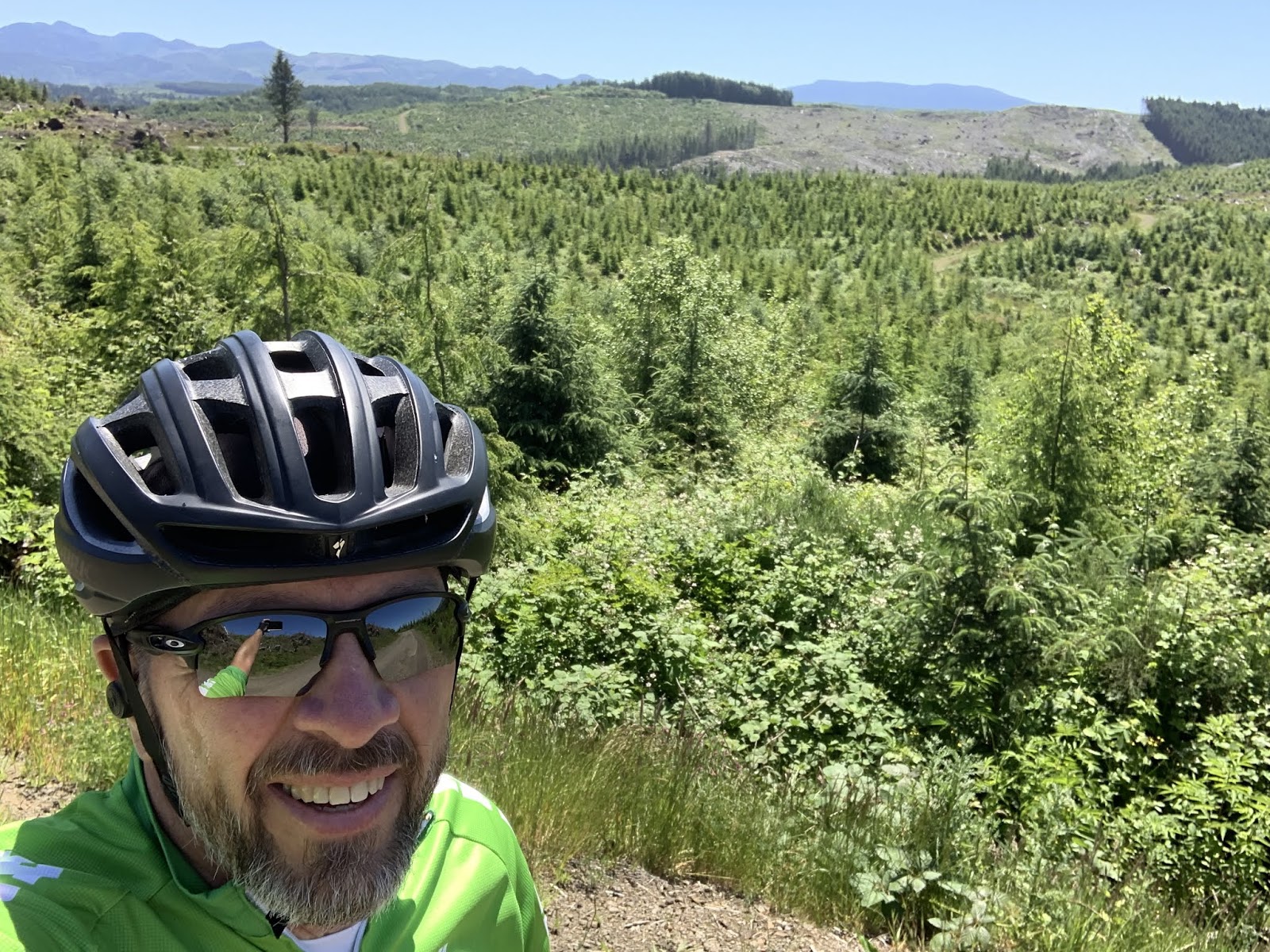

However, this is where Mr. Smiles was put to the test.  I may be grinning here, but let me assure the reader that it was forced.    We came out of the valley behind me.  As it turns out, the route headed up severely when the road surface went to pot.  Not only was it gravel, but it lasted for prolly a mile and a half, with portions pitching up at 13%.  It was a steady 10%.  Why?  Because the area had been logged recently and the road had basically been turned into a logging road.  Until, that is, I got on the actual logging road portion of the route.  It had never been paved at all.  At one point the pitch was steep enough that I walked for 200 yards because I knew there was no way my back tire would have enough traction to keep from slipping as I went up.  On the bright side, I did have excellent cell reception up there.  I used it to verify my location fearing that I had gotten lost.  Nope.  BTW - Google Maps called it "unpaved unnamed road", which was certainly reassuring...


Eventually we made it back to pavement.  The Sequoia was so glad to see rocks held firmly in place by petroleum products that he took this pic.  God bless him, I was right there with him.  We had a pleasant few miles until the next hill.  Which was a doozy...


I took this pic one mile up "Doozy  Mountain".  I've renamed it and will be informing the State of Oregon tomorrow.  Whoever they named it after is prolly long dead anyway, having been the first to ride a bike up it and dying at the top.  At this point it had been a mile of 4% to 6%.  OK- I can hang with that.  I figured it must be about over.


NOPE!  I was singing a different tune THREE MILES later.  The grade pitched up as the hill went on.  After the first mile, there was a lot of 8.5%, 9%, 10%...  Let me put it this way, the steepest grade Garmin reported to me was 13%.  Good Lord!  I kept looking for the top knowing that I was only about four miles from lunch at Sandlake (yes its all one word - a grocery store and a post office) with Susan.  I figured that I'd probably go downhill for about the same distance I went up.  Nope.  Plus, I ran out of water about 1.5 miles from the top - this couldn't be good...  I screamed downhill at 40+ for about 1.5 miles till I was close to the bottom.  I was wiped.  I saw a couple loading jet skis on the downhill and pulled into their driveway.  The guy looked up at me and said, "Need some water?"  They were very nice and gave me two bottles of ice cold water.  Turns out I was only about a mile away from Sandlake at the time.  When I met Susan for lunch my hands were shaking.  I think that was the most miserable I've been on a bike in a long time.  I'm not a climber.  Those guys are like 135 pounds.  I was 204 this morning.  We'll see how that goes if this continues.


I'm sure I looked like a beat mule when I pulled in at The Rig for lunch.  Susan just looked at me and started shoving food and liquid at me.  She also shoved an ice cream treat at me.  She ate this one, which was produced locally at the Tillamook Creamery.  But she got me a much bigger ice cream sandwich.  (God bless her.)  I haven't had one of those in years.  Hence my earlier "Wife who saved the day" comment.


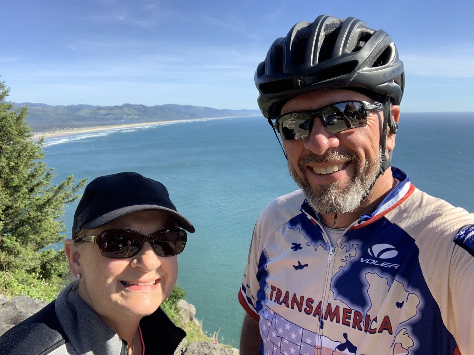
She also went up the road a bit and found yet another great pullout from which the Pacific was visible.  Turns out that this is our last pic of the Pacific since the route turned inland shortly after.  The reader will note that one of us has as a bald pate.  Hence you always see one of us in a ballcap or a helmet...


Finally comes the end of the day's ride.  This is an action shot of me pulling into Otis.  Used by permission: Susan Schoen Photography, LLC.


Sitting here in The Rig as I draft tonight's post, it occurred to me to look at the elevation profile of today's route.  I know it sucked since I rode it, but I thought the reader might like to take a gander...

One word: OUCH.  The first little spike is us getting over the logging road,  the second big spike is us getting over Doozy Mountain the first hill.  The final spike is the last big hill.

At the conclusion of the second big hill I looked like this...
The observant reader may note that this pic looks remarkably like the one I took when I topped the first big hill.  There's a reason for that.  I looked the same at the top of second hill.  I'm just too lazy to go fetch another pic and download it to the blog.  Besides, I didn't wanna waste film...

Till next time.

The Thin Blue Ride - Part 2 Day 1 - Astoria, OR to Barview Jetty Campground, Or

Ride Report:  61 miles, 61 total miles (we're starting over since I want to track Trans-Am miles separately), 15.5 avg mph, 4,694 calories, 3,225 ft climbing.  Hi speed for the trip: 47.5 mph.

Good day reader.  Sorry I didn't get this out on time last night, but for some reason the cell service wouldn't permit me to upload pics.  This morning, sitting in the same location, it works.  Technology - bah! Anyway...

Today started off in the parking lot of the Columbia Maritime Museum - again.  This time I took the opportunity to snag a pic with the Pilot boat that formerly plied these waters.  Its colorful, if nothing else.

It provides a sense of scale for the size of those freighters in some of my previous posts.  This is a baby compared to them and it still dwarfs me and the sequoia.

But soon enough, the riding commenced.  This was it - the first day of the Trans-Am.  I was a little nervous.  Those of you who have participated in sports may recognize the sensation.  It was a lot like the butterflies I used to get before a High School football game.  In football, once the first hit had happened, it was game on.  With a bike, once the first pedal stroke is down - same thing.  So here are the pics of the ride...


OK - this isn't too glamorous a shot for the first pic of the Trans-Am, but I couldn't resist.  We've been seeing some unusual traffic signs, but this one puzzles me.  How did they know that my allergies were kicking up?


But shortly we found ourselves on the Lewis and Clark highway.  Apt, given the local history.  It really was a pretty ride. There were lots of scenes like this.


And the Sequoia snagged a selfie with the road winding away into the distance.  Kinda cool.  Don't tell him, but it makes one wish for a motorcycle.  Which, by the way, there are a ton of around here.  In that respect its a lot like riding the Black Hills and The Badlands in South Dakota back in 2017.


The route took me along a Prom "street" in Seaside.  It was more of a wide sidewalk than a street, but right along the edge of the beach.  Hmmm.. is prom short for promenade?  Anyway, I ran into these two guys while I was there.  They were lost and looking for St. Louis.  I told em to go East till they hit I-25, then turn South till they hit I-70 and then follow it East all the way there.  Dunno what their story is.  Apparently they've never heard of Google Maps...


This, readers, is Neahkahnie Point.  It lies at what the Park signs say is one of the highest points on the Oregon portion of 101.  I'm not gonna argue with the Park guys on this one.  The road up here was something like 2 or 3 miles of 6%-11% grade.  That's some work...  But the view was amazing as the following pics will attest.  Dunno why they can't put pull-outs with good views like this down by a beach or something...  


Susan and I at Neahkahnie Point.  She saved me there.  I had just sucked down the last of my water when I reached the top.


Or what I thought was the top.  As this pic shows, the road continues on up along the cliff wall to the left side of the pic.  Shortly after passing between the pine trees, it started down.  And a screamer it was.  I coasted for 2-3 miles and I think this is where I hit my top speed of the day - just over 47 mph.  I say "I think" for two reasons.  First, because this wasn't the only such hill on the day.  Second, because one doesn't look down at the Garmin much when moving at those speeds.

From there it was around the bay (barely visible behind the beach in the pic above) and a bit further South to the Barview Jetty Campground and a disaster.  When Susan arrived she found someone in our spot.  Negotiations commenced and given how tired I was after the ride, we elected to just pull into a nearby vacant spot.  I was cranky.  Thank God for Susan.  I think she missed her calling.  She should have joined the Diplomatic corps.  Not a good end to the day.  But I got over it after the requisite griping.  Oh yeah - and some of Susan's famous potato salad didn't hurt either.  Sorry Keith and Kelsy - its all mine.

Till next time. 


Sunday, June 9, 2019

The Thin Blue Ride - Part 1 - Day 18

Ft. Stevens State Park: 0 Miles (RV)

Ride Report: 5 miles, 144 total miles, 8.2 mph avg, 140 calories, 105 ft. climbing.  Before the reader breaks out laughing at these numbers I might interject that we (yes, Susan rode too!) basically toodled to the beach twice on a bike/pedestrian path.  Speed was not a possibility in this environment...

What a great day.  First thing up, go to the beach and do the ceremonial tire dip thing.  For the uninitiated, when one commences the Trans-Am, one dips one's tire in the Pacific.  Then upon arrival on the East Coast one repeats the process, except this time its the front tire in the Atlantic.  It is, after all, a coast to coast ride.  And should I be fortunate enough to be able to complete it, I want photographic proof baby.  So - the way I figure it, I'm already half way done.  All I need now is the picture at the other end.  Oh yes, the boys got into an argument about who would get to go to the beach.  I eventually settled the matter by taking them both.  This, of course, occasioned two separate trips to the beach and back.  Then they were reduced to arguing about who got to go first.  (sigh)  At least they're just arguing and there have been no fisticuffs yet.  Hold your breath... 

This one is me and the Sequoia.  It didn't go as smoothly as I had planned.  Note that I have no shoes.  That's because I didn't want to be riding with them wet tomorrow.  However, believing that I  was initially too close to the water to set them down, I backed up.  This while holding onto the stem, which means I was at the front end of the bike.  I was in essence, backing a trailer on the beach.  If you've never backed a trailer, just know that the rear end doesn't always go where one might expect - as was the case in this instance.  Soon I found myself tangled in the rear tire of the bike while walking backwards.  Once that happens, there is only one place to do - down.  So I unceremoniously fell over the bike and wallowed about on the sand like someone who didn't know what they were doing.  Dressed in black spandex and a white(ish) jersey I consider myself fortunate that some passerby didn't mistake me for a sleek and graceful beached Orca and attempt to roll me into the sea.


Things went much better with the Tarmac.  We took our picture and left.


This, dear readers, is Susan and I posing in front of the wreck of the Peter Iredale.  According to the info board I read (park services love these things), it was a British sailing vessel that ran aground in 1906.  I didn't know sailing vessels were made of steel, but live and learn...


Once the obligatory beach pics were done it was back to The Rig where I had to take a shower to get all the sand off me and then we were off on the scooter to explore.  The first place we went was the North end of Ft. Scott State Park.  There is an observation point there at the mouth of the Columbia River.

We were fortunate enough that a freighter was inbound to the Port of Astoria while we were there.  I think this pic is cool.  Beach grasses, beach, river, freighter and mountains in the background as an added bonus.  We also saw this freighter later...


The Corps of Engineers was kind enough to build an observation platform a bit further South in the Park so we took the opportunity to climb it and were rewarded with this view.  Note the mountains in the distance.

Once done exploring the State Park we decided to go check out one of the many coastal artillery batteries located around the Columbia River Delta.  On the way there, we ran into these two.  Elk here are as "wild" as they are at the Grand Canyon.  Which is to say they're tame.  These two tried to hit us up for a donation after we took the pic.  Panhandling elk - what's next?  Fees to get into National Parks? 


So - the first of the coastal artillery batteries was installed during the Civil War.  They were then added to and modified until they were abandoned after WWII.  This is Susan and I standing in front of a WWII era 5 inch gun.  While it was interesting and I have lots of pictures of big guns, the reader will recall that I already went down this road when we were in Lawton, OK during the Texas Test Flight series of blog posts.  In deference to my daughter Kelsy, who apparently finds military history boring, I shall refrain from posting a bunch of pics of artillery pieces.  I hope she's happy with herself, raining on everyone else's parade.  Just know that if I hear from enough readers (one) I'll post the rest of em...

So, next up on the hit parade was a trip to Ft. Clatsop.  It's a reconstruction of the log blockade where Lewis and Clark overwintered before heading back East with the Corps of Discovery to report on their findings.


However, when we arrived we realized that we had forgotten our National Park Pass and weren't allowed entry.  But, being a believer in the notion that one should avail oneself of learning opportunities wherever one finds them, I submit this pic.  The reader will recall seeing pics of tsunami warning signs in past posts.  Note that this sign is different.  Now I know where they make em.  They're assembled at Ft. Clatsop by a team of four employees.  That this is only a temporary assembly area indicates a larger facility elsewhere.  Maybe in area 51.  I've yet to determine how their distribution network operates.


  Next it was off to see the Astoria Tower.  Its really pretty remarkable: 164 steps to the top (Susan and I counted em) with views to die for.  Some of which follow below.

Susan and I with the tower as a backdrop.  Note the paintings and verbiage on the tower.  It starts at the bottom with the Lewis and Clark expedition and works its way thru Oregon history as one works up the tower.


Susan and I at the top of the tower.  Note all the anchored freighters in the background.  The one from the earlier pic is there now.  The reader should also note Susan's hair - it was WINDY.  So much so that when Susan bumped her clip on sunglasses trying to control her hair for another pic later, the sunglasses were "Gone With The Wind" - right over the edge of the tower.  A group of three eagle eyed youngsters saw where they landed and we later recovered them - undamaged.  They sell some quality clip-on sunglasses at Wal-Mart, eh?   


While the freighter is probably the reader's focus in this pic, the real action is the big building with the curved roof in the foreground.  That's the Columbia Maritime Museum from whence I shall depart on the Trans-Am route in the morning.  


Another view from the top of the Astoria Tower.  This is Mount Saint Helens - some 80(ish) miles away.

And this is Mount Rainier (also snow capped).  Its kinda hazy, but its there in the center of the pic.  I think it was something like 160 miles away.


Then it was down to the Maritime Museum so Susan could get in a shot with the big anchor.  The official start line of the Trans-Am.


Then it was off to dinner at the Columbia Roadhouse in Chinook, Wa.  The reader will note that this is our 7th state.  No pics of the state line sign this time tho.  It was somewhere out on the three mile long bridge that takes one over the Columbia and into Washington.  What with Susan being on the back of the scooter at the time and me driving, pulling out the i-phone for a pic didn't seem prudent.


And after dinner - dessert.  Susan obliged me half of the cake, but I had to fight for my half of the ice cream.  I thought it unusual, but right after finishing dessert, Susan said something about going over to the gift shop which was on the other half of the restaurant.  OK.  And when she came back she had bought these for me...


Does the reader think they make my butt look big?  They had a pair in red.  Maybe that would be better...

Till next time.


Saturday, June 8, 2019

The Thin Blue Ride - Part 1 - Day 17

Ft. Stevens State Park: 0 Miles (RV)

Ride Report: 20 Miles, 139 Total Miles, 17.5 mph avg, 1,447 calories, 256 ft. Climbing.  There being no other plausible explanation for the lack of climbing today, the reader may rightly accuse me of riding on a giant pancake today.  Well, other than riding by a bay for the entire route...

It was gonna be a great day.  Up for a ride, clean up, hop on the scooter w/ Susan and see some sights, then scoot over to Washington (our 7th state) for dinner at a seafood shop in the small town of Chinook.  The weather was supposed to be cloudy this morning with the sun out by noon and temps in the low to mid 60s.  The reader will likely recall my numerous rants about “AccuWeather”.  The weatherguessers there missed the mark again today.  Rain in the morning, sun not out till 1500 or a bit later, as a result temps lower than “predicted”.  You get the picture.  At this point I tire of berating “Accuweather” and will simply refer the reader to one of my previous rants.

So - instead we decided to flip tomorrow’s schedule with today’s.  This made today chore day and tomorrow cheesy tourist day.  A ride did stay in the schedule as planned, but it was colder than planned and I was wetter than planned when I got back.   (Takes deep breath.). But I’m over it now.  On with the day...


First view of the City of Astoria coming in over Young's Bay.  If the reader looks closely the reader will see in the distance the 101 bridge over the Columbia River.  Its just above the white pick-up.


Delta - up close and personal with that same bridge.


This is a pic from the parking lot of the Columbia River Maritime Museum.  Note the big boat thingy in the distance.  There were two more to the rear (aft?) of the Coast Guard Cuter whose nose (bow?) is peeking in on the right side of the pic.  None were moving.  It was low tide and I'm guessing that they're waiting for more water. (draft?)


Avast Matey!  With my display of sea going slang, the Coast Guard guys tried to sign me up.  I politely declined.  36 years in a uniform is enough for me.  Actually, if the reader will look closely they will note that the Cutter is a bit rusty in a couple of places.  Given that we're in a museum parking lot, I suspect the Cutter is on display and owned by the museum.  Alas, as the museum was closed so there was no one for me to ask.  


This is ...well...a really big anchor.  This pic shows up in most blogs of Trans-Am bound riders as its the starting point of the Trans-Am.  So, its pretty much obligatory.  But still cool.  A very nice local lady took the pic for me and when she inquired where I was from and what I was doing in town, I filled her in.  She acted surprised and it was as if she'd never heard of the trans-Am before.  I find that difficult to imagine.  Regardless, she wished me well and we had a nice, if brief, chat.


This is...well...a really big propeller. (screw?)  I read the plaque and the thing weighs 18,000 pounds.  That's 4k more than The Rig loaded.  It was apparently donated by the family of a local seaman.  Delta asked the same lady to take a pic of him with the propeller and I photo bombed him as she did so.  I think it came out well, but he was all cranky.


In fact, he took this pic and when we were discussing it on the way back to The Rig, he told me he wanted it because the anchor reminded him of hauling me all over God's creation.  I told ya he was cranky.


Once we made it back to the campground he asked for the phone to take this one.  He's enamored of these tall pine trees.  The entire campground is full of em.

So, that was the morning jaunt.  After that it was Chore Day...


As evidenced by this pic.  That's Susan's ball-cap just behind the row of silver washing machines facing the reader.  What can I say?  I married a woman as tall as a washing machine.  Though in her defense, they do sit on about a six inch platform...  Susan says they're "really tall" washing machines.  OK...


And this is the pic of The Rig in its temporary home her in Ft. Steven's State Park.  We're surrounded on three sides by these.  Its a very impressive location.

Oh, and Susan made a great dinner tonight. She calls it her La Fiesta meal - after the restaurant in Manhattan from which she appropriated the idea.  (If you're the food police and reading this, I deny any specific knowledge of her thievery.)  I did have a pic of it loaded in the blog today.  However, it has since disappeared.  Our service is wonky here and I had to load some of the pics twice.  This one apparently disappeared.  My apologies to the reader, but it looked delicious.

Till next time...